黄土高原地区287县(市、旗)多年平均气象数据集
收藏国家地球系统科学数据中心2017-11-29 更新2024-03-04 收录
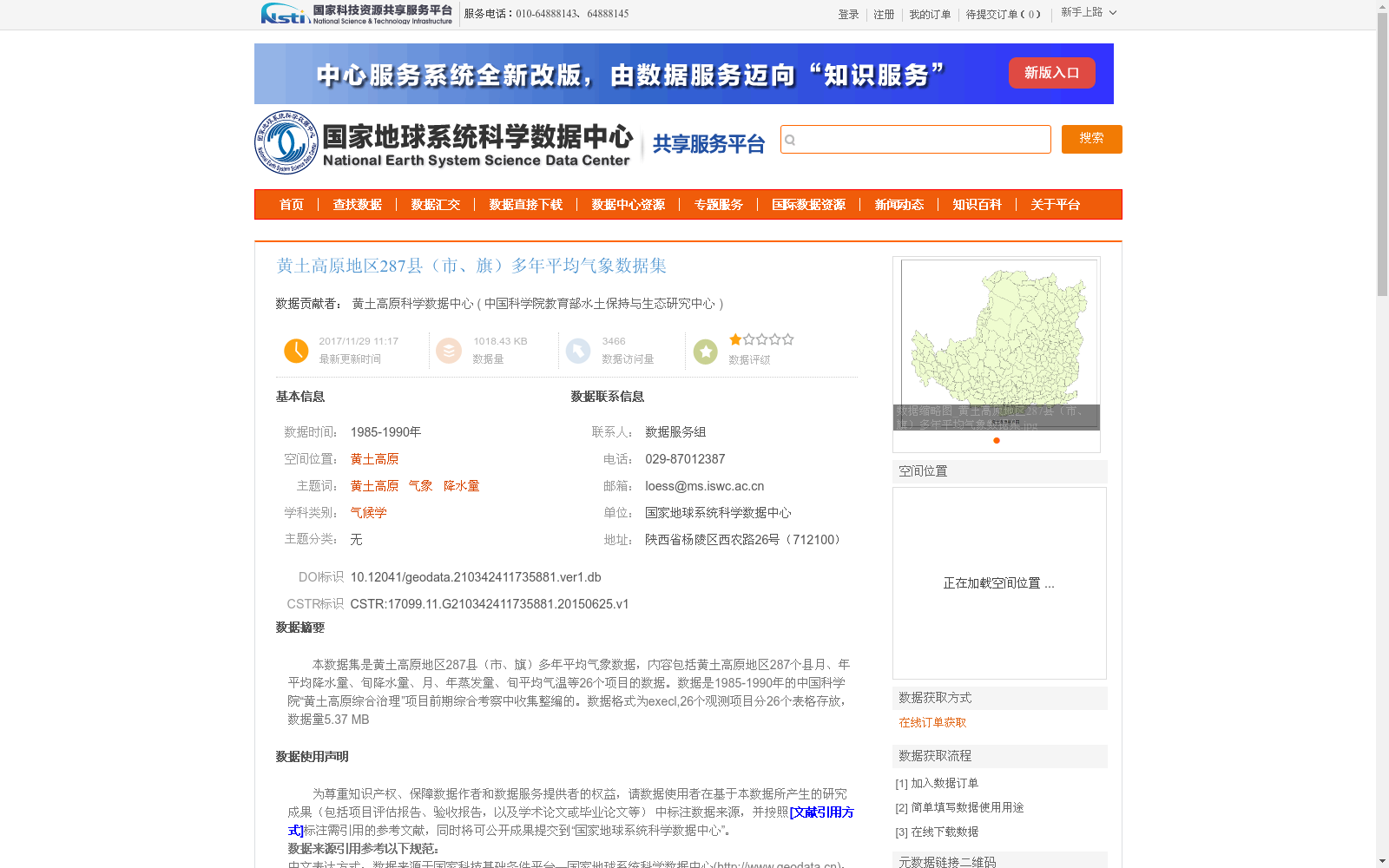
下载链接:
https://www.geodata.cn/data/datadetails.html?dataguid=210342411735881&docId=23031
下载链接
链接失效反馈官方服务:
资源简介:
本数据集是黄土高原地区287县(市、旗)多年平均气象数据,内容包括黄土高原地区287个县月、年平均降水量、旬降水量、月、年蒸发量、旬平均气温等26个项目的数据。数据是1985-1990年的中国科学院“黄土高原综合治理”项目前期综合考察中收集整编的。数据格式为execl,26个观测项目分26个表格存放,数据量5.37
MB
This dataset comprises multi-year average meteorological data for 287 counties (cities, banners) across the Loess Plateau region. It covers 26 data items including monthly and annual average precipitation, dekad precipitation, monthly and annual evaporation, and dekad average temperature for these 287 counties. The data was collected and compiled during the preliminary comprehensive survey conducted for the Chinese Academy of Sciences' "Loess Plateau Comprehensive Management" project between 1985 and 1990. The data is stored in Excel format, with each of the 26 observation items saved in an individual table, and the total data size is 5.37 MB.
提供机构:
中国科学院教育部水土保持与生态研究中心
创建时间:
2015-06-25
搜集汇总
数据集介绍
背景与挑战
背景概述
该数据集是黄土高原地区287个县(市、旗)的多年平均气象数据,覆盖1985-1990年,包含月、年平均降水量、旬降水量、蒸发量和气温等26个观测项目。数据来源于中国科学院“黄土高原综合治理”项目的前期综合考察,经过人工规范化整理和质量控制,以Excel格式存储,适用于气候学和区域环境研究。
以上内容由遇见数据集搜集并总结生成


