生态环境遥感监测图集(包含PM2.5、PM10、气溶胶等)
收藏资源简介:
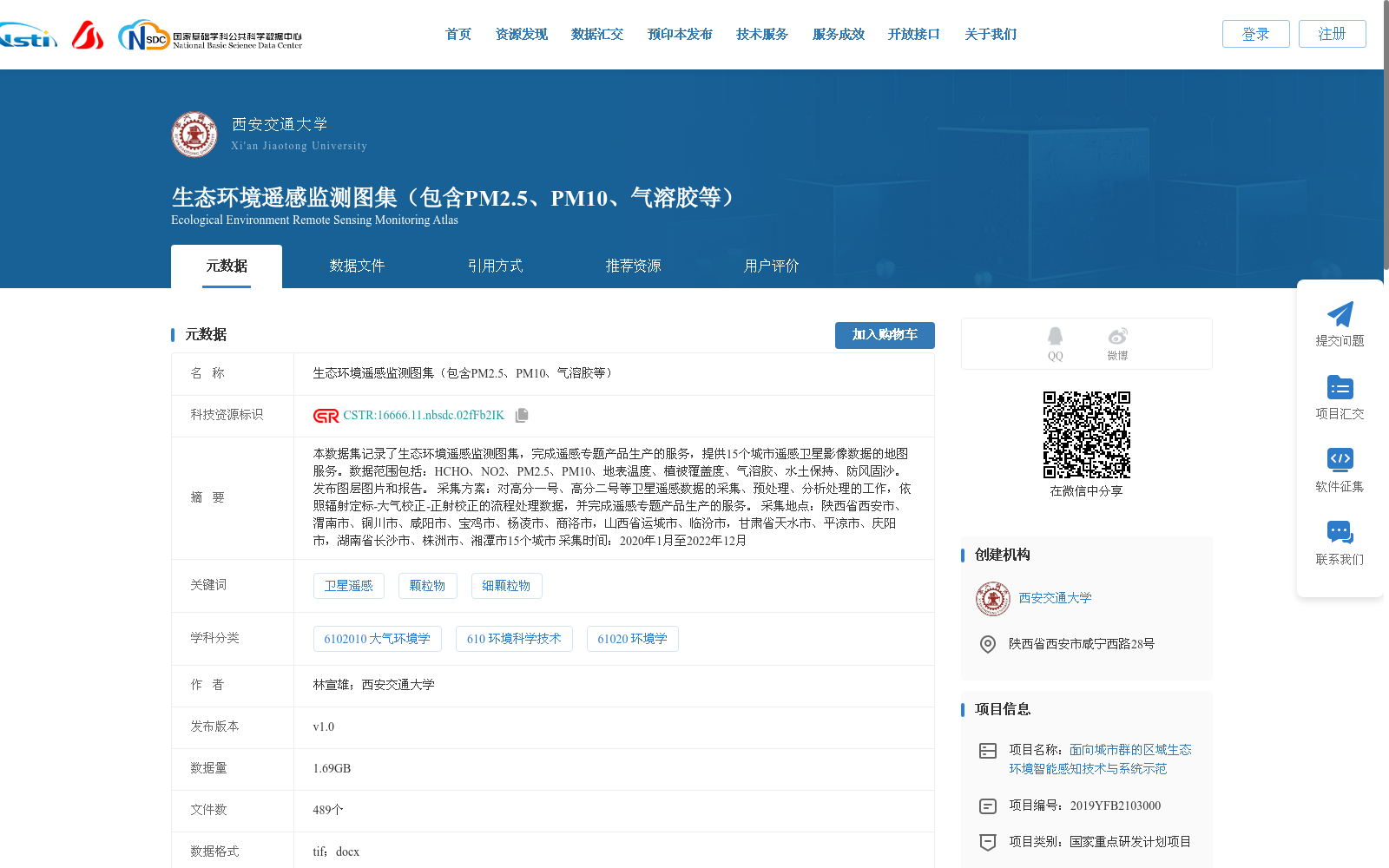
本数据集记录了生态环境遥感监测图集,完成遥感专题产品生产的服务,提供15个城市遥感卫星影像数据的地图服务。数据范围包括:HCHO、NO2、PM2.5、PM10、地表温度、植被覆盖度、气溶胶、水土保持、防风固沙。发布图层图片和报告。 采集方案:对高分一号、高分二号等卫星遥感数据的采集、预处理、分析处理的工作,依照辐射定标-大气校正-正射校正的流程处理数据,并完成遥感专题产品生产的服务。 采集地点:陕西省西安市、渭南市、铜川市、咸阳市、宝鸡市、杨凌市、商洛市,山西省运城市、临汾市,甘肃省天水市、平凉市、庆阳市,湖南省长沙市、株洲市、湘潭市15个城市 采集时间:2020年1月至2022年12月
This dataset records the eco-environmental remote sensing monitoring atlas, provides services for the production of remote sensing thematic products, and offers map services for remote sensing satellite image data of 15 cities. The data scope covers HCHO, NO2, PM2.5, PM10, Land Surface Temperature (LST), Fractional Vegetation Cover (FVC), Aerosol, Soil and Water Conservation, and Windbreak and Sand Fixation. Layer images and corresponding reports are published. Collection scheme: It involves the collection, preprocessing and analytical processing of remote sensing satellite data from satellites such as Gaofen-1 (GF-1) and Gaofen-2 (GF-2), processes the data in accordance with the workflow of radiometric calibration → atmospheric correction → orthorectification, and provides services for the production of remote sensing thematic products. Collection locations: A total of 15 cities across four provinces, including Xi'an, Weinan, Tongchuan, Xianyang, Baoji, Yangling and Shangluo of Shaanxi Province; Yuncheng and Linfen of Shanxi Province; Tianshui, Pingliang and Qingyang of Gansu Province; Changsha, Zhuzhou and Xiangtan of Hunan Province. Data collection period: January 2020 to December 2022