青藏高原七大河流源区径流深、蒸散发数据集(TPRED)
收藏国家青藏高原科学数据中心2024-07-22 更新2024-08-03 收录
下载链接:
https://data.tpdc.ac.cn/zh-hans/data/8704e085-3b84-45a5-8488-ea436c204c14
下载链接
链接失效反馈官方服务:
资源简介:
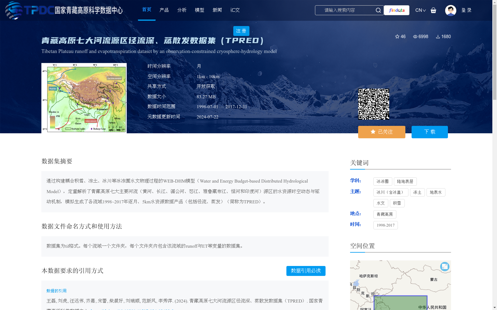
通过构建耦合积雪、冻土、冰川等冰冻圈水文物理过程的WEB-DHM模型(Water and Energy Budget-based Distributed Hydrological Model),定量解析了青藏高原七大主要河流(黄河、长江、湄公河、怒江、雅鲁藏布江、恒河和印度河)源区的水资源时空动态与驱动机制,模拟生成了各流域1998~2017年逐月、5km水资源数据产品(包括径流、蒸发)(简称为TPRED)。
By developing the WEB-DHM model (Water and Energy Budget-based Distributed Hydrological Model) which couples the hydrological and physical processes of the cryosphere such as snow cover, frozen soil, and glaciers, this study quantitatively analyzed the spatiotemporal dynamics and driving mechanisms of water resources in the source regions of the seven major rivers on the Qinghai-Tibet Plateau: the Yellow River, Yangtze River, Mekong River, Salween River, Yarlung Zangbo River, Ganges River, and Indus River. Additionally, monthly, 5-kilometer resolution water resource data products (including runoff and evaporation) for each basin from 1998 to 2017 were generated, and this dataset is abbreviated as TPRED.
提供机构:
王磊,刘虎,汪远伟,齐嘉,宋蕾,柴晨好,刘瑞顺,范新凤,李秀萍
创建时间:
2024-07-21
搜集汇总
数据集介绍
背景与挑战
背景概述
该数据集通过WEB-DHM模型模拟生成,覆盖青藏高原七大主要河流源区,提供1998~2017年逐月、5km分辨率的径流和蒸散发数据。数据以tif格式存储,每个流域一个文件夹,包含runoff与ET等变量。
以上内容由遇见数据集搜集并总结生成


