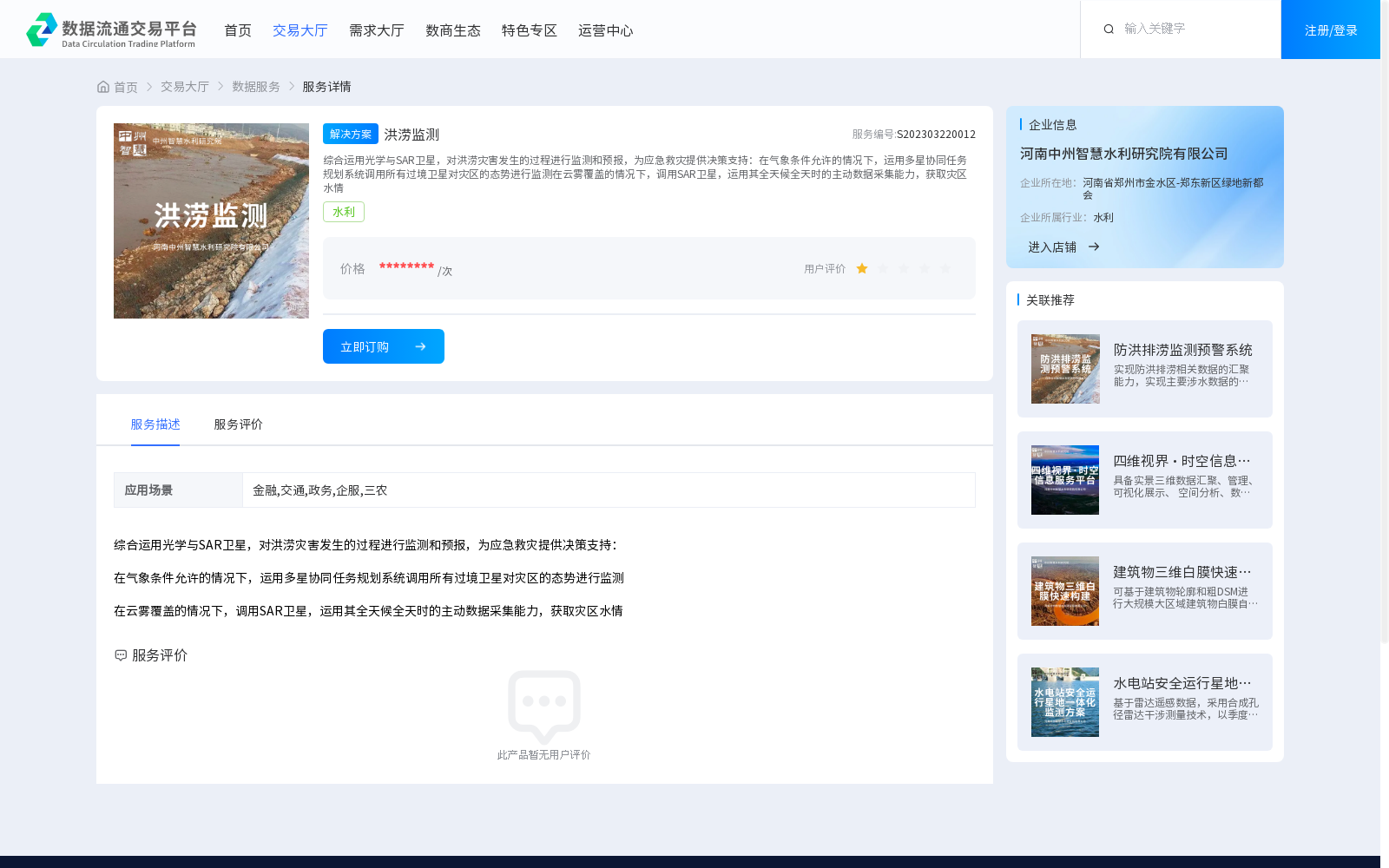
洪涝监测
收藏郑州数据交易中心2023-03-22 更新2024-10-10 收录
下载链接:
https://market.zzbdex.com/trade/service/1638447024694824962
下载链接
链接失效反馈官方服务:
资源简介:
综合运用光学与SAR卫星,对洪涝灾害发生的过程进行监测和预报,为应急救灾提供决策支持:在气象条件允许的情况下,运用多星协同任务规划系统调用所有过境卫星对灾区的态势进行监测在云雾覆盖的情况下,调用SAR卫星,运用其全天候全天时的主动数据采集能力,获取灾区水情
Integrating optical and SAR satellites, this dataset monitors and forecasts the progression of flood disasters to provide decision-making support for emergency disaster relief. When meteorological conditions permit, a multi-satellite collaborative mission planning system is deployed to schedule all overhead satellites for monitoring the situation of disaster-stricken areas; when the area is covered by clouds and fog, SAR satellites are invoked to leverage their all-weather and round-the-clock active data acquisition capabilities to acquire water regime data of the affected regions.
提供机构:
河南中州智慧水利研究院有限公司
创建时间:
2023-03-22
搜集汇总
数据集介绍
背景与挑战
背景概述
洪涝监测数据集通过光学与SAR卫星技术,实现对洪涝灾害的全天候监测和预报,支持应急救灾决策,适用于金融、交通等多个领域。
以上内容由遇见数据集搜集并总结生成


