黄河干流地表水水质评价数据(2008-2020)
收藏国家青藏高原科学数据中心2021-04-19 更新2024-02-29 收录
下载链接:
https://data.tpdc.ac.cn/zh-hans/data/d7f8876d-b702-4b59-b441-43a99039722f
下载链接
链接失效反馈官方服务:
资源简介:
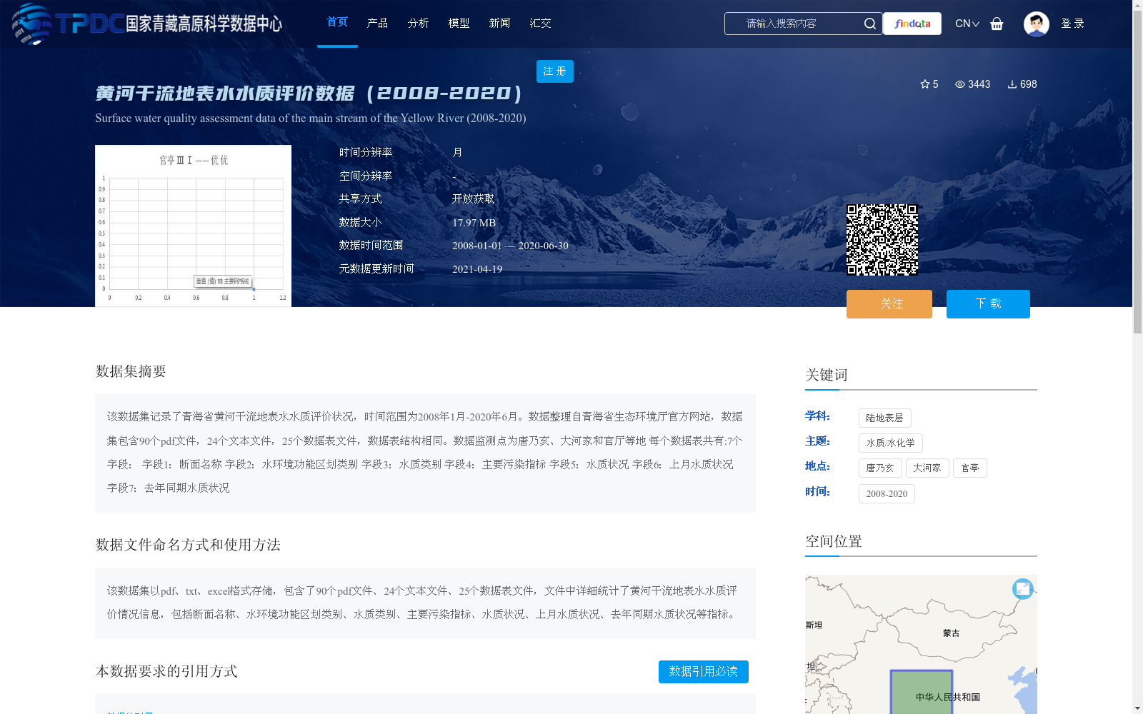
该数据集记录了青海省黄河干流地表水水质评价状况,时间范围为2008年1月-2020年6月。数据整理自青海省生态环境厅官方网站,数据集包含90个pdf文件,24个文本文件,25个数据表文件,数据表结构相同。数据监测点为唐乃亥、大河家和官厅等地
每个数据表共有:7个字段:
字段1:断面名称
字段2:水环境功能区划类别
字段3:水质类别
字段4:主要污染指标
字段5:水质状况
字段6:上月水质状况
字段7:去年同期水质状况
This dataset documents the surface water quality assessment status of the main stream of the Yellow River in Qinghai Province, covering the period from January 2008 to June 2020. The data is collated from the official website of the Qinghai Provincial Department of Ecology and Environment. The dataset contains 90 PDF files, 24 text files and 25 data table files, all of which share the same structure. The data monitoring sites include Tangnaihai, Dahejia, Guanting and other locations. Each data table has 7 fields as follows:
1. Section Name
2. Water Environment Function Zoning Category
3. Water Quality Category
4. Main Pollutant Index
5. Water Quality Status
6. Water Quality Status of the Previous Month
7. Water Quality Status of the Same Period Last Year
提供机构:
青海省生态环境厅
创建时间:
2021-01-05
搜集汇总
数据集介绍
背景与挑战
背景概述
该数据集是黄河干流在青海省段的地表水水质评价数据,时间跨度为2008年1月至2020年6月,每月更新一次。数据来源于青海省生态环境厅,包含多个监测点(如唐乃亥、大河家和官厅)的详细记录,以pdf、txt和excel格式存储,共有139个文件,其中25个数据表文件结构统一,涵盖断面名称、水质类别、主要污染指标等7个字段,用于评估水质状况及其变化趋势。
以上内容由遇见数据集搜集并总结生成


