
Hilti-Oxford Dataset
收藏资源简介:
Hilti-Oxford数据集是由牛津大学工程科学系牛津机器人研究所与Hilti AG合作创建的,旨在为同时定位与地图构建(SLAM)系统提供高精度的基准测试。该数据集包含多种挑战性场景,从稀疏的常规建筑工地到17世纪新古典主义建筑,具有精细的细节和曲面。数据收集平台设计了包含激光雷达、五个摄像头和一个惯性测量单元(IMU)的多模态SLAM方法。数据集通过使用先进的测量设备实现了毫米级的SLAM姿态误差测量,确保了高精度和鲁棒性。该数据集吸引了广泛的学术和工业研究者参与Hilti SLAM挑战,推动了SLAM技术在实际应用中的发展,特别是在建筑检查和施工监控等需要亚厘米级精度的领域。
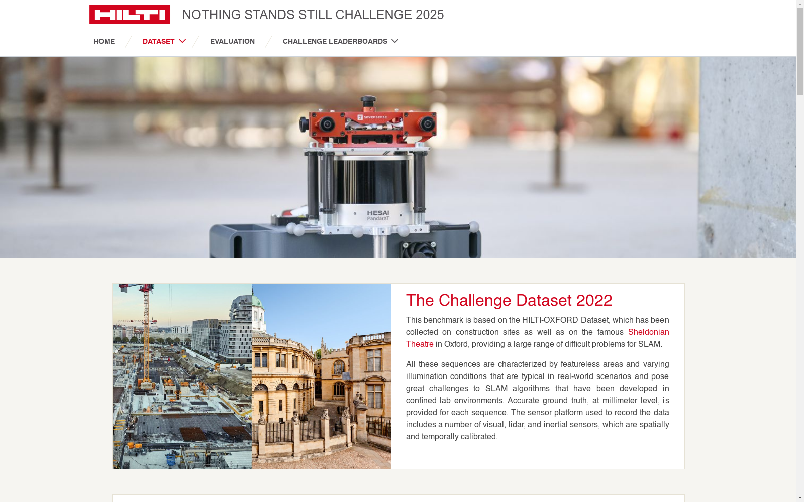
Hilti-Oxford Dataset was created in collaboration between the Oxford Robotics Institute, Department of Engineering Science, University of Oxford and Hilti AG, with the aim of providing high-precision benchmarking for simultaneous localization and mapping (SLAM) systems. This dataset encompasses a variety of challenging scenarios, ranging from sparse conventional construction sites to 17th-century neoclassical buildings, featuring fine-grained details and curved surfaces. The data collection platform employs a multimodal SLAM setup equipped with a LiDAR, five cameras, and an inertial measurement unit (IMU). The dataset achieves millimeter-level SLAM pose error measurement using advanced metrology equipment, ensuring high precision and robustness. This dataset has attracted widespread participation from academic and industrial researchers in the Hilti SLAM Challenge, promoting the advancement of SLAM technology in real-world applications, particularly in fields requiring sub-centimeter-level accuracy such as building inspection and construction monitoring.
- 1Hilti-Oxford Dataset: A Millimetre-Accurate Benchmark for Simultaneous Localization and Mapping牛津大学工程科学系牛津机器人研究所 · 2023年


