中国东北水稻种植分布数据(2015年)
收藏国家地球系统科学数据中心2022-11-14 更新2024-03-04 收录
下载链接:
https://www.geodata.cn/data/datadetails.html?dataguid=179788684452683&docId=6888
下载链接
链接失效反馈官方服务:
资源简介:
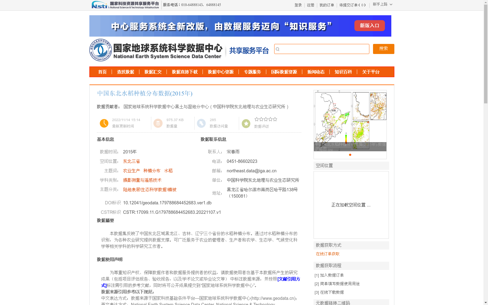
本数据集反映了中国东北区域黑龙江、吉林、辽宁三个省份的水稻种植分布。通过对水稻种植分布的识别,为各种农业研究提供数据支撑。可广泛服务于农业的管理者、生产者和农学、生态学、气候变化科学等相关学科的科学研究工作者。
This dataset documents the spatial distribution of rice cultivation across three provinces in Northeast China: Heilongjiang, Jilin, and Liaoning. By identifying such distribution patterns, it provides data support for various agricultural research initiatives. It can be extensively utilized by agricultural managers, producers, and scientific researchers from relevant disciplines including agronomy, ecology, and climate change science.
提供机构:
中国科学院东北地理与农业生态研究所
创建时间:
2022-11-07
搜集汇总
数据集介绍
背景与挑战
背景概述
该数据集提供了2015年中国东北三省(黑龙江、吉林、辽宁)的水稻种植分布信息,基于MODIS遥感数据通过亚像元方法生产,空间分辨率为500米,主要用于支持农业管理、生产和相关科学研究。数据精度较高,通过无人机验证可解释84%的水稻种植比例变异性,并已应用于硕士论文、竞赛和项目等多种用途。
以上内容由遇见数据集搜集并总结生成


