中国水蚀风蚀交错区分布图
收藏官方服务:
资源简介:
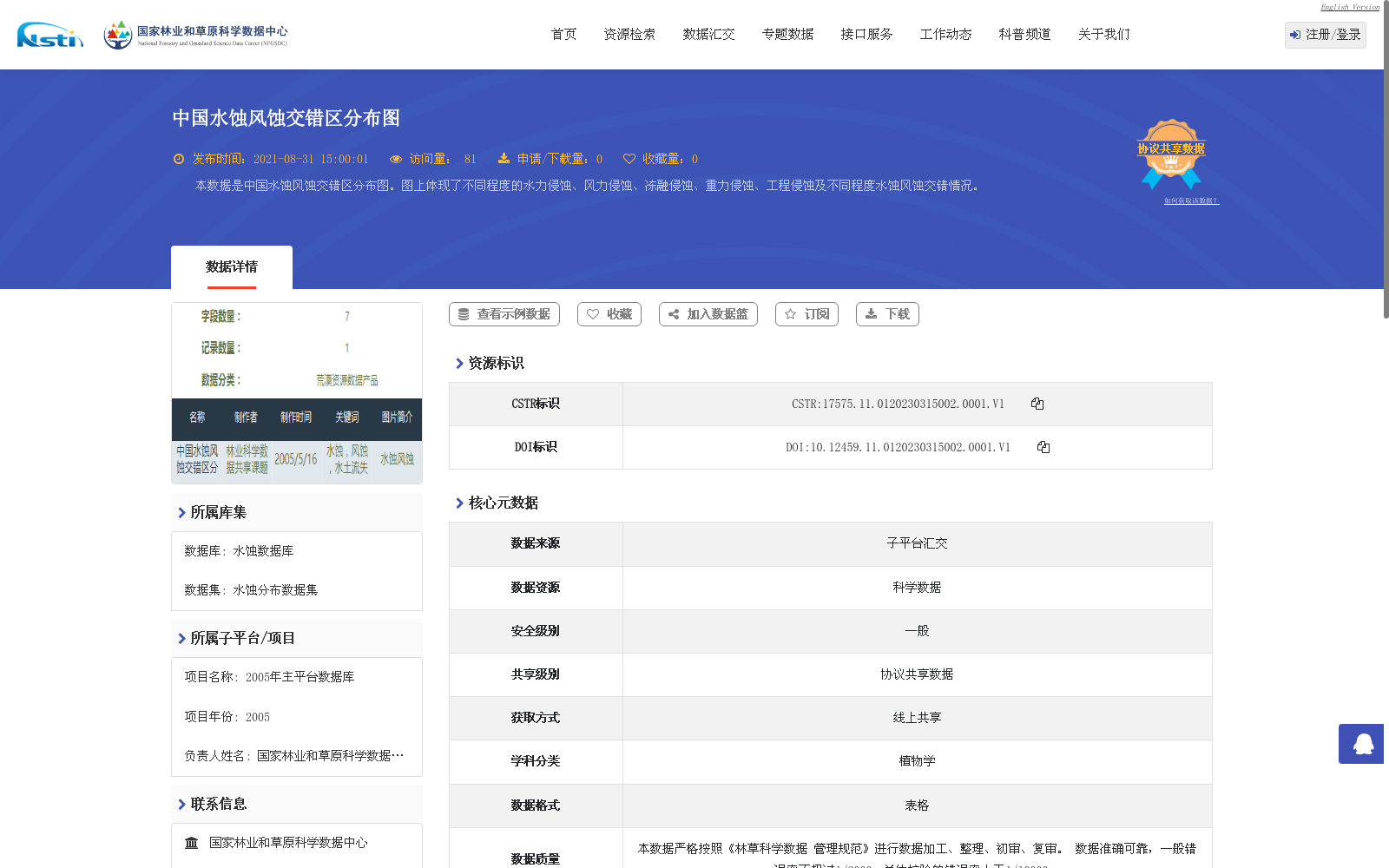
本数据是中国水蚀风蚀交错区分布图。图上体现了不同程度的水力侵蚀、风力侵蚀、冻融侵蚀、重力侵蚀、工程侵蚀及不同程度水蚀风蚀交错情况。
This dataset is the distribution map of the water-wind erosion crisscross region in China. The map illustrates different degrees of water erosion, wind erosion, freeze-thaw erosion, gravitational erosion, engineering erosion, as well as various levels of water-wind erosion interlaced conditions.
提供机构:
国家林业和草原科学数据中心创建时间:
2005-08-31
搜集汇总
数据集介绍
背景与挑战
背景概述
该数据集是中国水蚀风蚀交错区的分布图,基于2005年项目数据并于2015年更新,以表格形式呈现,数据量1.79 MB。它详细展示了中国范围内不同程度的水力侵蚀、风力侵蚀、冻融侵蚀、重力侵蚀、工程侵蚀以及水蚀风蚀交错情况,适用于水土流失研究和生态保护分析,数据质量可靠,错误率低于1/10000。
以上内容由遇见数据集搜集并总结生成


