南海海浪高分辨率模拟与智能订正数据集(1981-2021)
收藏资源简介:
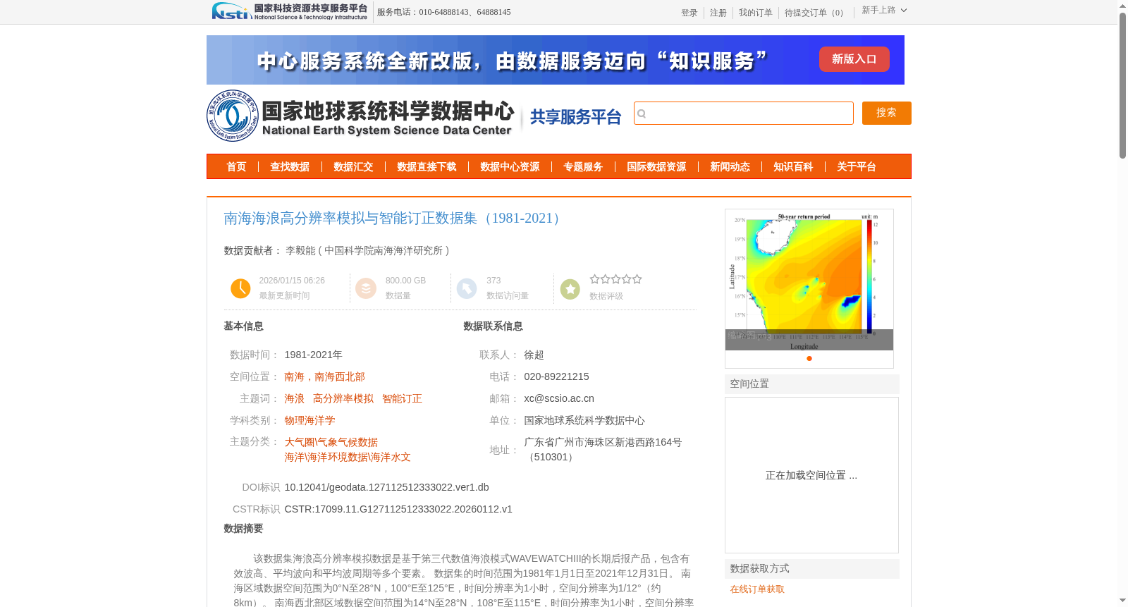
该数据集海浪高分辨率模拟数据是基于第三代数值海浪模式WAVEWATCHIII的长期后报产品,包含有效波高、平均波向和平均波周期等多个要素。 数据集的时间范围为1981年1月1日至2021年12月31日。 南海区域数据空间范围为0°N至28°N,100°E至125°E,时间分辨率为1小时,空间分辨率为1/12°(约8km)。 南海西北部区域数据空间范围为14°N至28°N,108°E至115°E,时间分辨率为1小时,空间分辨率为1/36°(约3km)。数据格式为netCDF4,地理数据存储在变量”latitude”和”longitude”中,有效波高数据储存在变量“HS”中,平均波向数据储存在变量“DIRMN”中,平均波周期数据储存在变量“TMN”中,谱峰向和谱峰周期数据分别粗存在“PEAKD”和“PEAKP”中。
This high-resolution wave simulation dataset is a long-term reanalysis product based on the third-generation numerical wave model WAVEWATCH III, which includes multiple parameters such as significant wave height, mean wave direction, and mean wave period. The temporal coverage of the dataset spans from January 1, 1981 to December 31, 2021. The spatial coverage of the South China Sea (SCS) dataset ranges from 0°N to 28°N and 100°E to 125°E, with a temporal resolution of 1 hour and a spatial resolution of 1/12° (approximately 8 km). The northwestern South China Sea (NW SCS) subset has a spatial coverage of 14°N to 28°N and 108°E to 115°E, with a temporal resolution of 1 hour and a spatial resolution of 1/36° (approximately 3 km). The data is stored in netCDF4 format. Geospatial coordinate data are stored in the variables "latitude" and "longitude", significant wave height data is stored in the variable "HS", mean wave direction data in "DIRMN", mean wave period data in "TMN", and spectral peak direction and spectral peak period data are stored in "PEAKD" and "PEAKP" respectively.