1982-2020年全球小麦4km分辨率单产数据集
收藏国家生态科学数据中心2024-07-22 收录
下载链接:
http://www.nesdc.org.cn/sdo/detail?id=669239d17e28174998399d04
下载链接
链接失效反馈官方服务:
资源简介:
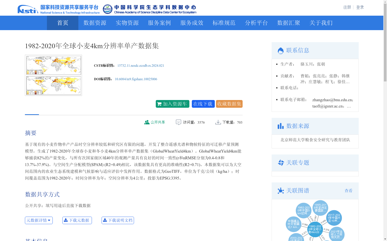
基于现有的小麦作物单产产品时空分辨率较低和研究区有限的问题,开发了整合遥感光谱和物候特征的可迁移产量预测模型,生成了1982-2020年全球春小麦和冬小麦4km分辨率单产数据集(GlobalWheatYield4km)。GlobalWheatYield4km能够捕获82%的产量变化,与所有次国家级区域40年的观测产量具有良好的时间一致性(r和nRMSE分别为0.4-0.8和13.7%-37.9%)。与空间生产分配模型(SPAM) (R2=0.49)相比,该数据集具有更高的准确性(R2=0.71)。本数据集可以为大空间范围内的农业生态系统建模和气候影响与适应评估中发挥作用。数据格式为GeoTIFF,单位为千克/公顷(kg/ha);时间覆盖范围为1982-2020年;时间分辨率为年;空间分辨率为4公里;投影为EPSG:3395。
Addressing the limitations of low spatiotemporal resolution and narrow study area in existing wheat crop yield products, we developed a transferable yield prediction model integrating remote sensing spectral and phenological features, and generated the GlobalWheatYield4km dataset: a global wheat yield dataset at 4 km resolution for spring wheat and winter wheat spanning 1982 to 2020. GlobalWheatYield4km can capture 82% of yield variability, and shows strong temporal consistency with 40-year observed yields across all subnational regions, with correlation coefficients (r) and normalized root mean square errors (nRMSE) ranging from 0.4 to 0.8 and 13.7% to 37.9% respectively. Compared with the Spatial Production Allocation Model (SPAM) (R²=0.49), this dataset achieves higher accuracy with an R² of 0.71. This dataset can serve as a critical resource for agroecosystem modeling and climate impact and adaptation assessments at large spatial scales. The dataset is formatted as GeoTIFF, with units of kilograms per hectare (kg/ha), temporal coverage from 1982 to 2020, annual temporal resolution, 4 km spatial resolution, and uses the EPSG:3395 projection.
提供机构:
团队
创建时间:
2022-08-24
搜集汇总
数据集介绍
背景与挑战
背景概述
该数据集提供了1982-2020年全球春小麦和冬小麦的4km分辨率单产数据,时间分辨率为年,数据格式为GeoTIFF,单位为千克/公顷。数据集通过整合遥感光谱和物候特征,能够捕获82%的产量变化,与观测产量具有良好的一致性,且比空间生产分配模型(SPAM)具有更高的准确性(R2=0.71)。
以上内容由遇见数据集搜集并总结生成


