2017-2020年中国黄海、东海海域浮标观测水文要素数据图集
收藏地球大数据科学工程2024-03-04 收录
下载链接:
https://data.casearth.cn/sdo/detail/6538824f819aec0f26f254a2
下载链接
链接失效反馈官方服务:
资源简介:
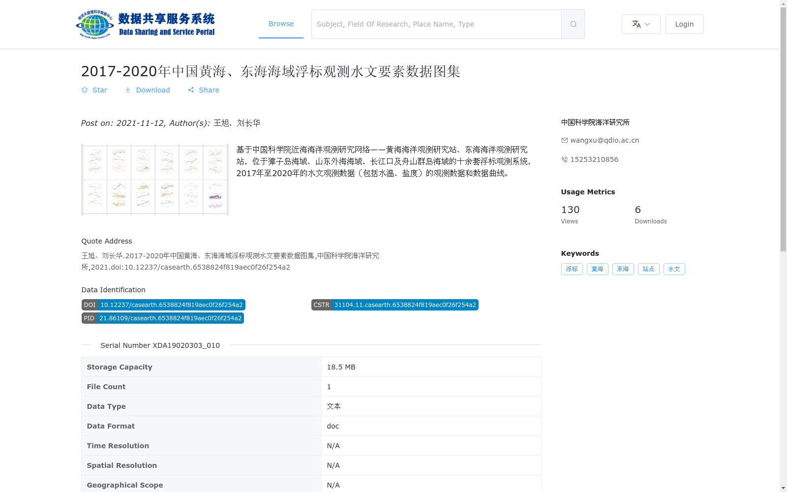
基于中国科学院近海海洋观测研究网络——黄海海洋观测研究站、东海海洋观测研究站,位于獐子岛海域、山东外海海域、长江口及舟山群岛海域的十余套浮标观测系统,2017年至2020年的水文观测数据(包括水温、盐度)的观测数据和数据曲线。
Based on the Coastal Ocean Observation and Research Network of the Chinese Academy of Sciences (including the Yellow Sea Ocean Observation and Research Station and the East China Sea Ocean Observation and Research Station), this dataset contains hydrological observation data (covering water temperature and salinity) and corresponding data curves collected from 2017 to 2020 by more than ten buoy observation systems deployed in the waters of Zhangzi Island, the offshore waters of Shandong, the Yangtze River Estuary and the Zhoushan Archipelago.
提供机构:
中国科学院海洋研究所
搜集汇总
数据集介绍
背景与挑战
背景概述
该数据集是基于中国科学院近海海洋观测研究网络的浮标系统,在2017年至2020年间对中国黄海和东海海域(包括獐子岛、山东外海、长江口及舟山群岛等区域)进行的水文观测数据图集,主要包含水温和盐度两个关键要素。数据以文本格式(doc文件)存储,总容量18.5 MB,属于站点原位观测数据图集,由中国科学院海洋研究所发布,适用于海洋环境研究和监测。
以上内容由遇见数据集搜集并总结生成


