Urban monthly land dynamics Sentinel-2 benchmark dataset
收藏资源简介:
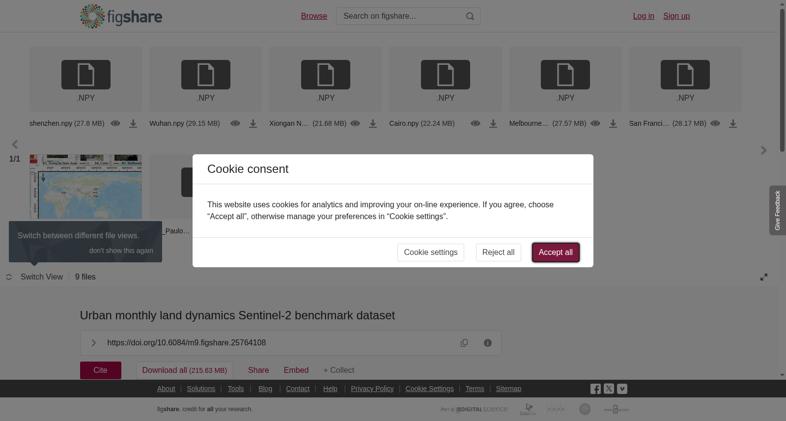
The public data set of the paper "<b>Time-series land cover change detection using deep learning-based temporal semantic segmentation</b>" uses monthly synthesized Sentinel-2 for time series semantic change detection. A total of 32894 samples were collected. Each timestamp has a land cover type annotation. Anyone can use this data set to conduct further research. We will add more areas in the future.<b>Data description:</b>The time series length of the sample is 48, 48 months.The dimension of the time series is 13: [Sentinel-2 data (10) + Lable (1) + Lon(1) + Lat (1) ].Label mapping: 0 is water body, 1 is woodland, 2 is grassland, 3 is bare soil, 4 is impervious surface, 5 is cropland.For any implementation details, you can refer to the paper or github.<b>Paper citations:</b>He H, Yan J, Liang D, Sun Z, Li J, Wang L. Time-series land cover change detection using deep learning-based temporal semantic segmentation. Remote Sensing of Environment. 2024, 305:114101.<br><b>Sentinel-2 time-series image </b><b>dataset:</b>Shenzhen_Link: https://pan.baidu.com/s/1ua7qguFZ5TYpjkSECF9Z8Q?pwd=cug2Wuhan_Link: https://pan.baidu.com/s/1-vaumdV00OHsgwKIVE_wGA?pwd=cug2Xiong'an New Area_Link: https://pan.baidu.com/s/1Led0sXkUeebW39D-LPKAqw?pwd=cug2Cairo_Link: https://pan.baidu.com/s/1lf49HLEmaDQtwEspfl_0FA?pwd=cug2Melbourne_Link: https://pan.baidu.com/s/1Rtnv9nW9O-NzOItK5UmGGA?pwd=cug2San Francisco_Link: https://pan.baidu.com/s/1Zt-MhbsPl7PyUcU35V0-ug?pwd=cug22025.03.07: Added datasets for San Pablo and Mexicali for 2020-2023.<br>
<b>论文《基于深度学习时序语义分割的时序土地覆盖变化检测(Time-series land cover change detection using deep learning-based temporal semantic segmentation)》的公开数据集</b>,采用月度合成的哨兵二号(Sentinel-2)数据开展时序语义变化检测研究。本数据集共收集32894个样本,每个时间戳均配有土地覆盖类型标注,可供各界科研人员开展后续研究,未来我们将新增更多研究区域。 <b>数据说明:</b>样本的时序长度为48,即包含48个月的观测数据。时序数据的维度为13,具体构成为:[哨兵二号(Sentinel-2)数据(10维)+ 标签(Label,1维)+ 经度(Lon,1维)+ 纬度(Lat,1维)]。标签映射规则如下:0代表水体,1代表林地,2代表草地,3代表裸土,4代表不透水面,5代表耕地。如需了解具体实现细节,可参考该论文或其GitHub仓库。 <b>论文引用:</b>He H, Yan J, Liang D, Sun Z, Li J, Wang L. 基于深度学习时序语义分割的时序土地覆盖变化检测. 环境遥感(Remote Sensing of Environment). 2024, 305:114101. <b>哨兵二号(Sentinel-2)时序影像数据集:</b> 深圳:https://pan.baidu.com/s/1ua7qguFZ5TYpjkSECF9Z8Q?pwd=cug2 武汉:https://pan.baidu.com/s/1-vaumdV00OHsgwKIVE_wGA?pwd=cug2 雄安新区:https://pan.baidu.com/s/1Led0sXkUeebW39D-LPKAqw?pwd=cug2 开罗:https://pan.baidu.com/s/1lf49HLEmaDQtwEspfl_0FA?pwd=cug2 墨尔本:https://pan.baidu.com/s/1Rtnv9nW9O-NzOItK5UmGGA?pwd=cug2 旧金山:https://pan.baidu.com/s/1Zt-MhbsPl7PyUcU35V0-ug?pwd=cug2 2025.03.07:新增2020-2023年圣巴勃罗与墨西卡利数据集。