巢湖MODIS影像数据集(2009-2013年)
收藏国家地球系统科学数据中心2017-06-29 更新2024-03-04 收录
下载链接:
https://www.geodata.cn/data/datadetails.html?dataguid=117948785270714&docId=27783
下载链接
链接失效反馈官方服务:
资源简介:
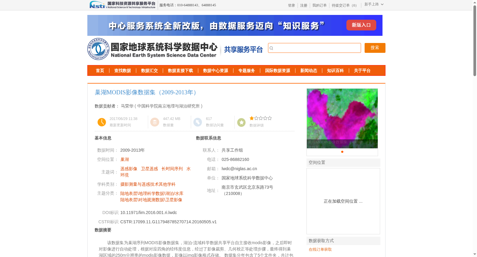
该数据集为巢湖序列MODIS影像数据集,湖泊-流域科学数据共享平台自主接收modis影像,之后即时对影像进行自动处理,根据对应四角的经纬度信息,经过了影像裁剪、几何校正等处理步骤,最终得到巢湖区域的250m分辨率的modis影像数据,影像以img影像格式存储。
数据集分年包含了5个文件夹,共计包含528景img栅格数据,及411景jpg图片数据。
This dataset is a time-series MODIS image dataset for Chaohu Lake. The Lake and Watershed Science Data Sharing Platform independently acquired MODIS images, followed by real-time automatic image processing. Based on the latitude and longitude information of the four corresponding corners, processing steps including image cropping and geometric correction were conducted, ultimately generating MODIS image data of the Chaohu Lake area with a spatial resolution of 250m, which is stored in the IMG image format. The dataset is organized into 5 annual folders, containing a total of 528 IMG raster data files and 411 JPG image files.
提供机构:
中国科学院南京地理与湖泊研究所
创建时间:
2016-05-05
搜集汇总
数据集介绍
背景与挑战
背景概述
该数据集是2009-2013年巢湖区域的MODIS影像数据集,包含528景250米分辨率的img栅格数据和411景jpg图片数据,经过裁剪和几何校正处理,适用于水环境和地理科学研究。
以上内容由遇见数据集搜集并总结生成


