青藏高原区域WRF动力降尺度模拟数据集(1979-2018)
收藏国家青藏高原科学数据中心2023-06-21 更新2024-03-06 收录
下载链接:
https://data.tpdc.ac.cn/zh-hans/data/3ec8ba6f-6d68-47ce-bf51-07f06eea98ba
下载链接
链接失效反馈官方服务:
资源简介:
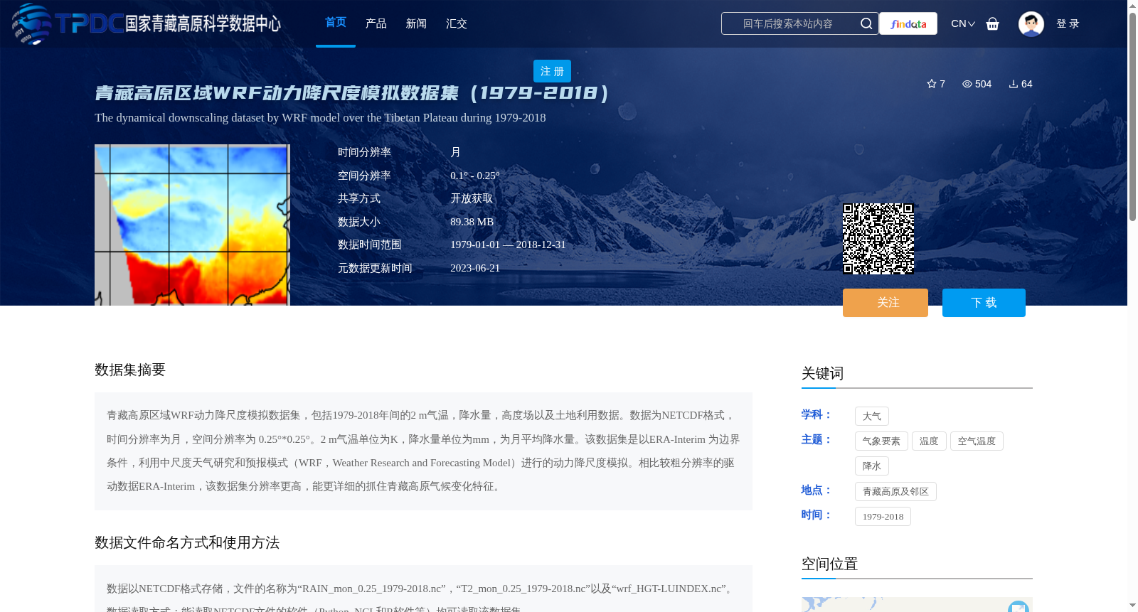
青藏高原区域WRF动力降尺度模拟数据集,包括1979-2018年间的2 m气温,降水量,高度场以及土地利用数据。数据为NETCDF格式,时间分辨率为月,空间分辨率为 0.25°*0.25°。2 m气温单位为K,降水量单位为mm,为月平均降水量。该数据集是以ERA-Interim 为边界条件,利用中尺度天气研究和预报模式(WRF,Weather Research and Forecasting Model)进行的动力降尺度模拟。相比较粗分辨率的驱动数据ERA-Interim,该数据集分辨率更高,能更详细的抓住青藏高原气候变化特征。
WRF dynamic downscaling simulation dataset over the Tibetan Plateau encompasses 2 m air temperature, precipitation, geopotential height field and land use data spanning from 1979 to 2018. All data are stored in NETCDF format, with a monthly temporal resolution and a spatial resolution of 0.25°×0.25°. The unit of 2 m air temperature is Kelvin (K), while precipitation is measured in millimeters (mm), representing monthly mean precipitation. This dataset was generated via dynamic downscaling simulations using the Weather Research and Forecasting (WRF) mesoscale numerical model, with ERA-Interim reanalysis data as the lateral boundary conditions. Compared with the coarse-resolution driving ERA-Interim dataset, this higher-resolution dataset can capture the climatic change characteristics over the Tibetan Plateau in greater detail.
提供机构:
高艳红
创建时间:
2022-12-19
搜集汇总
数据集介绍
背景与挑战
背景概述
该数据集是青藏高原区域1979-2018年间的WRF动力降尺度模拟数据,包含2m气温、降水量、高度场及土地利用数据,时间分辨率为月,空间分辨率为0.25°×0.25°,以NETCDF格式存储。数据集利用WRF模式进行动力降尺度模拟,相比驱动数据ERA-Interim,提供了更高分辨率的气候变化特征。
以上内容由遇见数据集搜集并总结生成


