300m全球Globalcover 土地覆盖产品数据集(2005-2006年)
收藏国家地球系统科学数据中心2017-05-25 更新2024-03-04 收录
下载链接:
https://www.geodata.cn/data/datadetails.html?dataguid=190524363665096&docId=28323
下载链接
链接失效反馈官方服务:
资源简介:
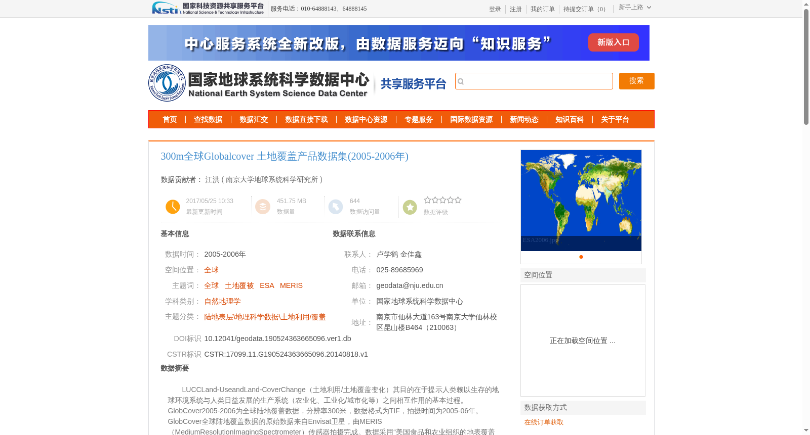
LUCCLand-UseandLand-CoverChange(土地利用/土地覆盖变化)其目的在于提示人类赖以生存的地球环境系统与人类日益发展的生产系统(农业化、工业化/城市化等)之间相互作用的基本过程。GlobCover2005-2006为全球陆地覆盖数据,分辨率300米,数据格式为TIF,拍摄时间为2005-06年。GlobCover全球陆地覆盖数据的原始数据来自Envisat卫星,由MERIS(MediumResolutionImagingSpectrometer)传感器拍摄完成。数据采用“美国食品和农业组织的地表覆盖分类系统(UNFoodandAgricultureOrganisation’sLandCoverClassfication)作为图例生成标准。分22个生态气候区,空间分辨率为300m.
LUCC, short for Land Use and Land Cover Change, aims to reveal the fundamental interactive processes between the Earth's environmental system that supports human survival and humanity's increasingly developing production systems (e.g., agriculturalization, industrialization/urbanization).
GlobCover 2005-2006 is a global land cover dataset with a spatial resolution of 300 meters, stored in TIF format, and acquired between 2005 and 2006.
The original data of the GlobCover global land cover dataset originates from the Envisat satellite, and was captured by the Medium Resolution Imaging Spectrometer (MERIS) sensor.
The data adopts the UN Food and Agriculture Organisation’s Land Cover Classification system as its legend generation standard.
It is divided into 22 eco-climatic zones, with a spatial resolution of 300 meters.
提供机构:
南京大学地球系统科学研究所
创建时间:
2014-08-18
搜集汇总
数据集介绍
背景与挑战
背景概述
该数据集为2005-2006年全球土地覆盖产品,空间分辨率为300米,基于Envisat卫星的MERIS传感器数据生成,采用美国食品和农业组织的地表覆盖分类系统,覆盖22个生态气候区。数据通过多维迭代聚类方法分类,并经过专家验证,总精度为73%,适用于土地利用/土地覆盖变化研究等自然地理学领域。
以上内容由遇见数据集搜集并总结生成


