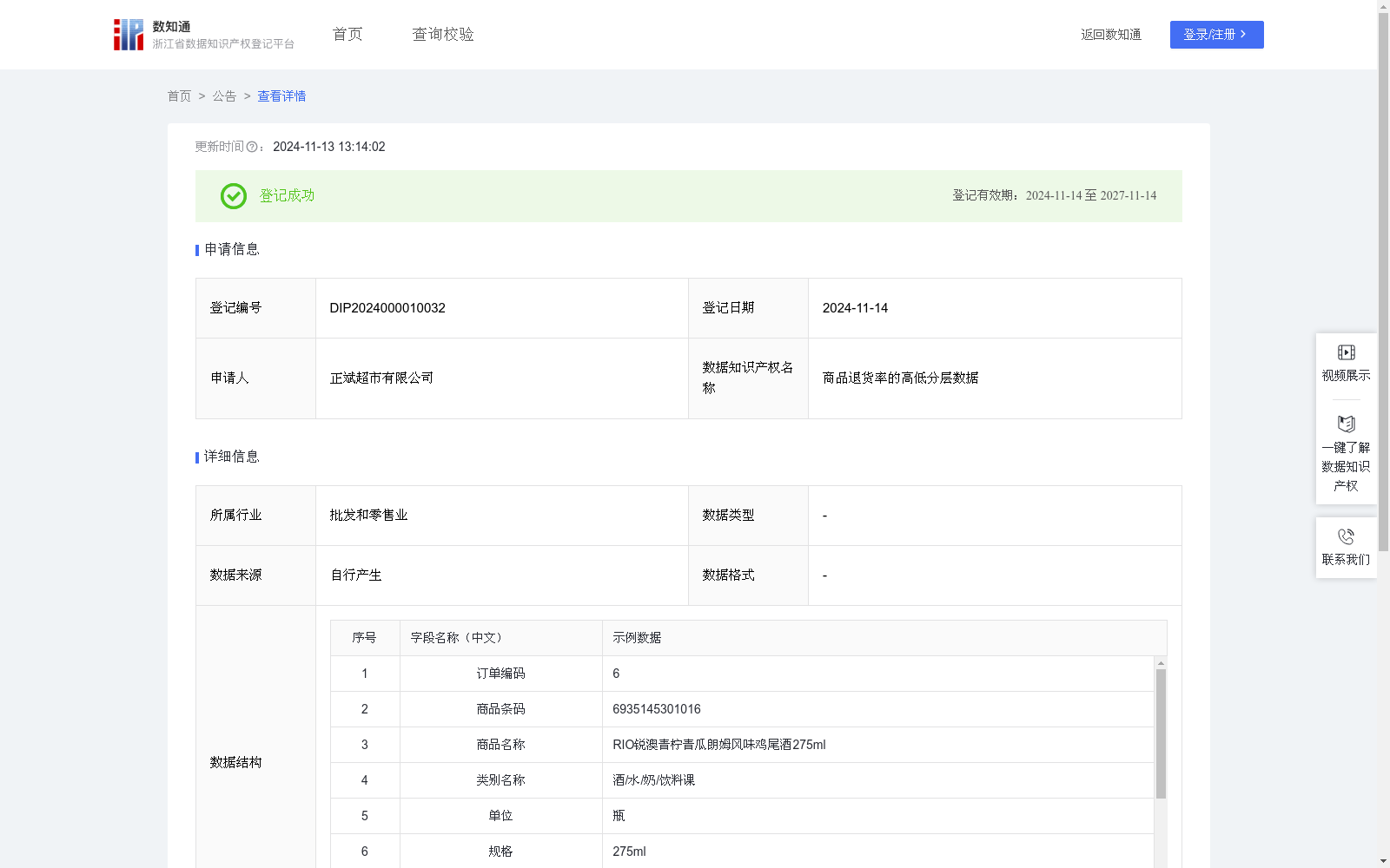
商品退货率的高低分层数据
收藏浙江省数据知识产权登记平台2024-11-13 更新2024-11-14 收录
下载链接:
https://www.zjip.org.cn/home/announce/trends/84014
下载链接
链接失效反馈官方服务:
资源简介:
商品退货率的高低分层数据主要依据商品的退货情况,将商品分为不同的等级,商家可以通过分析退货原因,改进产品质量和服务,降低退货率,提高客户满意度和保持良好的商业声誉。也可给本地区各大超市及时调整经营策略、进行市场分析和竞争对比时的提供参考依据。1、数据收集:在系统中删选出近半年的退货信息,包括商品条码、商品名称、类别名称、销售数量、销售金额、退货数量、退货金额等;2、数据计算:退货率=退货数量/销售数量*100%;3、退货商品类别分级:退货率在10%以下为低退货率商品,退货率在大于等于10%小于20%区间的为中退货率商品,退货率在大于等于20%小于50%区间的为高退货率商品,退货率在大于等于50%区间的为极高退货率商品。
The stratified product return rate data categorizes products into distinct tiers based on their return performance. Merchants can analyze root causes of returns, improve product quality and customer services, reduce return rates, boost customer satisfaction, and preserve favorable business reputations with this dataset. Additionally, it serves as a reference for major local supermarkets when making timely adjustments to their business strategies, conducting market analysis, and performing competitive comparisons.
1. Data Collection: Extract return records from the past six months in the system, including product barcode, product name, category name, sales volume, sales amount, return quantity, and return amount, etc.
2. Data Calculation: Return rate = (Return Quantity / Sales Volume) × 100%
3. Return Product Category Classification: Products with a return rate below 10% are categorized as low-return-rate products; those with a return rate equal to or greater than 10% but less than 20% fall into medium-return-rate products; those with a return rate equal to or greater than 20% but less than 50% are high-return-rate products; and those with a return rate equal to or greater than 50% are ultra-high-return-rate products.
提供机构:
正斌超市有限公司
创建时间:
2024-09-25
搜集汇总
数据集介绍
以上内容由遇见数据集搜集并总结生成


