青藏高原及其周边区域建筑轮廓数据集
收藏国家青藏高原科学数据中心2024-04-03 更新2024-04-26 收录
下载链接:
https://data.tpdc.ac.cn/zh-hans/data/df9ae3ee-669b-4940-88b3-aeaedb50442e
下载链接
链接失效反馈官方服务:
资源简介:
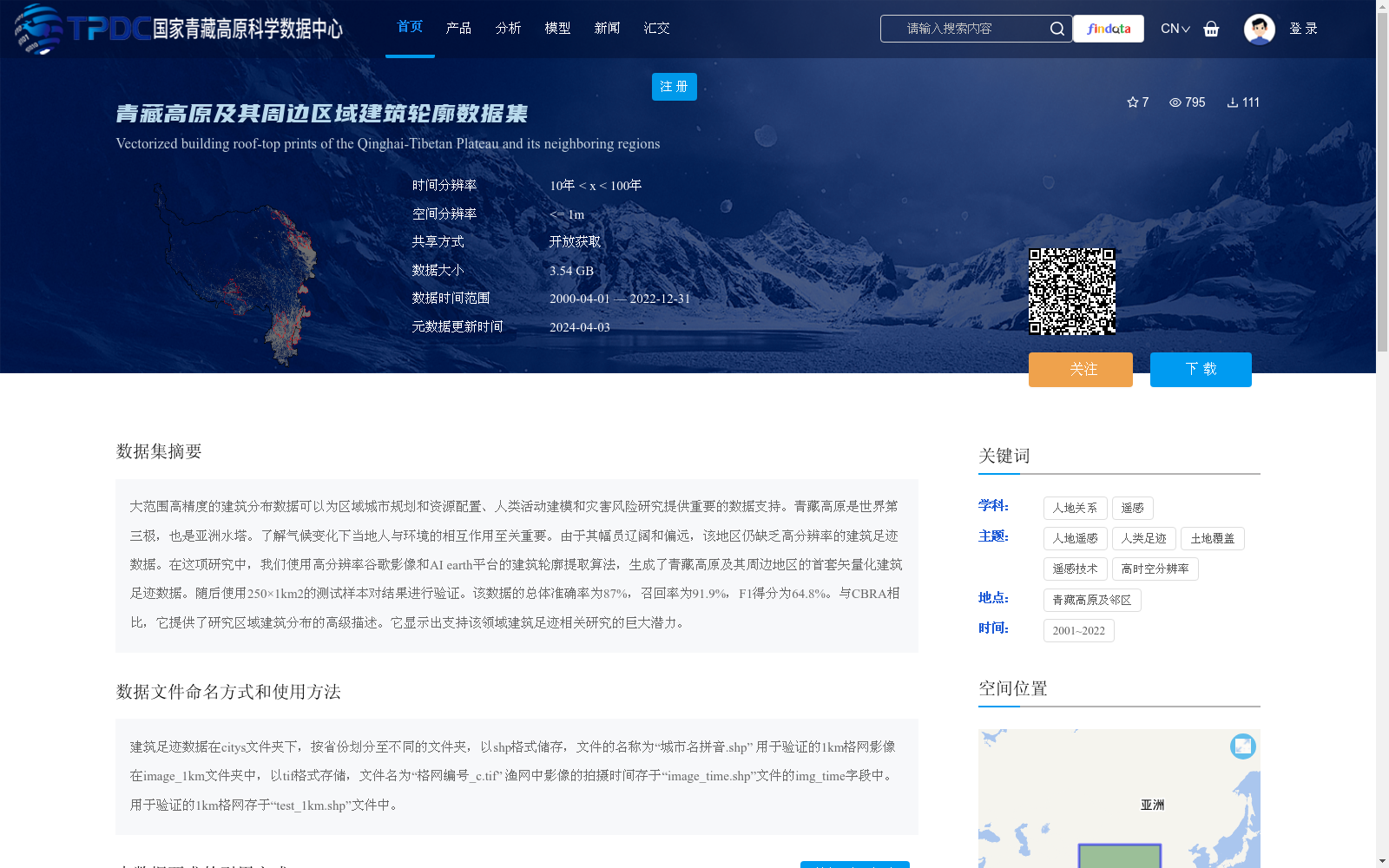
大范围高精度的建筑分布数据可以为区域城市规划和资源配置、人类活动建模和灾害风险研究提供重要的数据支持。青藏高原是世界第三极,也是亚洲水塔。了解气候变化下当地人与环境的相互作用至关重要。由于其幅员辽阔和偏远,该地区仍缺乏高分辨率的建筑足迹数据。在这项研究中,我们使用高分辨率谷歌影像和AI earth平台的建筑轮廓提取算法,生成了青藏高原及其周边地区的首套矢量化建筑足迹数据。随后使用250×1km2的测试样本对结果进行验证。该数据的总体准确率为87%,召回率为91.9%,F1得分为64.8%。与CBRA相比,它提供了研究区域建筑分布的高级描述。它显示出支持该领域建筑足迹相关研究的巨大潜力。
Large-scale high-precision building distribution data provides critical data support for regional urban planning, resource allocation, human activity modeling, and disaster risk research. The Qinghai-Tibet Plateau, known as the Third Pole of the World, also serves as Asia's Water Tower. It is crucial to understand the interactions between local human communities and their environment under climate change. Owing to its vast territory and remote location, this region still lacks high-resolution building footprint data. In this study, we used high-resolution Google Earth imagery and the building footprint extraction algorithm on the AI Earth platform to generate the first set of vectorized building footprint data for the Qinghai-Tibet Plateau and its surrounding areas. Subsequently, the results were validated using test samples of 250 × 1 km². The overall accuracy of this dataset is 87%, the recall rate is 91.9%, and the F1 score is 64.8%. Compared with CBRA, this dataset provides a more advanced description of the building distribution in the study area. It demonstrates great potential to support relevant research on building footprints in this field.
提供机构:
叶涛,吴吉东,周强,单宏宇
创建时间:
2024-03-25
搜集汇总
数据集介绍
背景与挑战
背景概述
该数据集是青藏高原及其周边区域的首套矢量化建筑足迹数据,通过高分辨率谷歌影像和AI算法生成,总体准确率为87%,空间分辨率<=1m,数据大小为3.54GB,时间范围为2000-2022年。数据以开放获取方式共享,适用于区域城市规划、人类活动建模和灾害风险研究。
以上内容由遇见数据集搜集并总结生成


