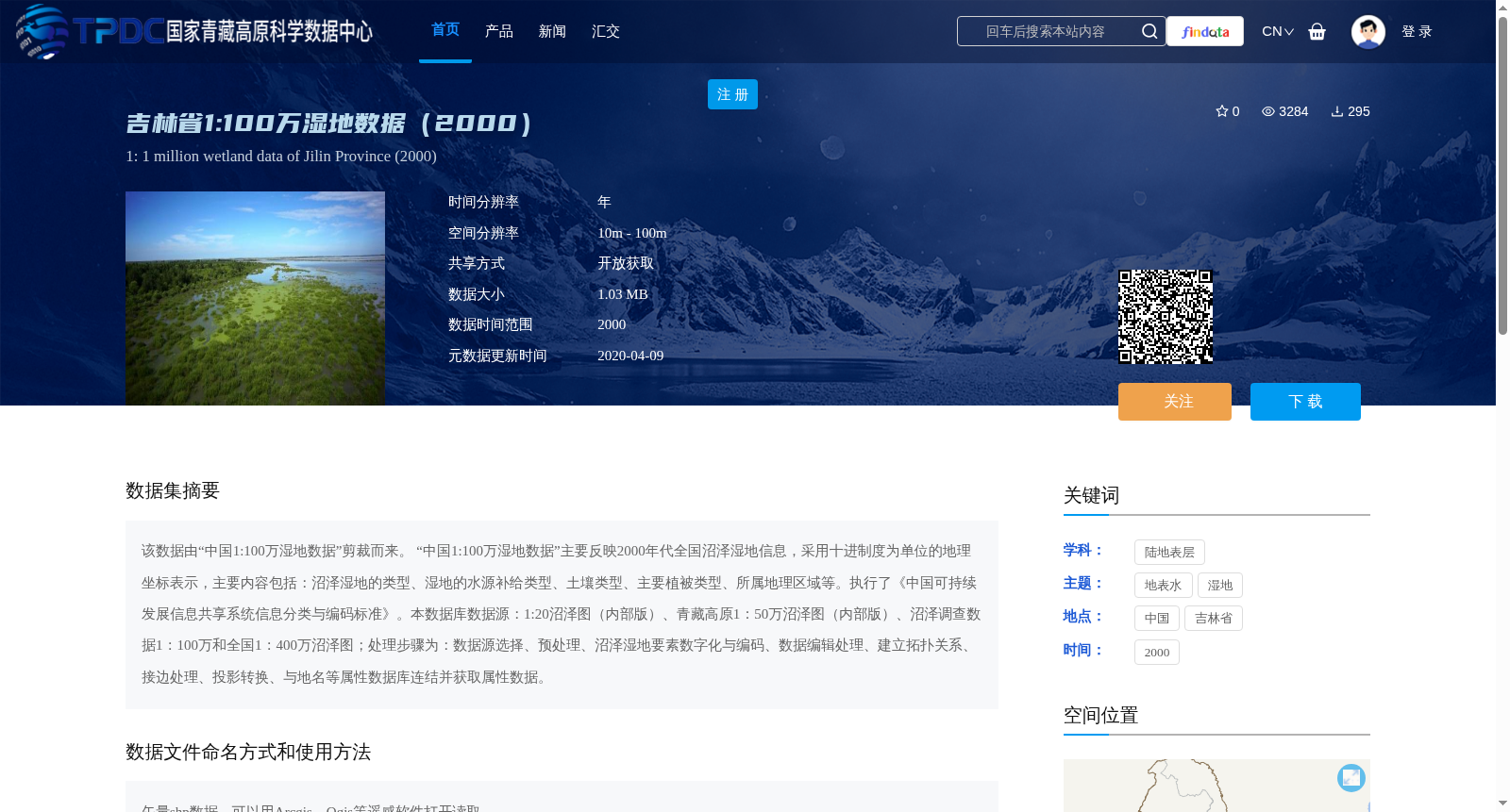
吉林省1:100万湿地数据(2000)
收藏国家青藏高原科学数据中心2020-04-09 更新2024-03-01 收录
下载链接:
https://data.tpdc.ac.cn/zh-hans/data/77cf1f0a-7667-4f6f-b093-761dbd534288
下载链接
链接失效反馈官方服务:
资源简介:
该数据由“中国1:100万湿地数据”剪裁而来。
“中国1:100万湿地数据”主要反映2000年代全国沼泽湿地信息,采用十进制度为单位的地理坐标表示,主要内容包括:沼泽湿地的类型、湿地的水源补给类型、土壤类型、主要植被类型、所属地理区域等。执行了《中国可持续发展信息共享系统信息分类与编码标准》。本数据库数据源:1:20沼泽图(内部版)、青藏高原1:50万沼泽图(内部版)、沼泽调查数据1:100万和全国1:400万沼泽图;处理步骤为:数据源选择、预处理、沼泽湿地要素数字化与编码、数据编辑处理、建立拓扑关系、接边处理、投影转换、与地名等属性数据库连结并获取属性数据。
This dataset is derived from the "China 1:1,000,000 Wetland Dataset" via spatial clipping. The "China 1:1,000,000 Wetland Dataset" primarily documents national-scale marsh wetland information from the 2000s, using geographic coordinates in decimal degrees as the unit. Its main contents include: types of marsh wetlands, wetland water recharge types, soil types, dominant vegetation types, and affiliated geographical regions, among others. This dataset complies with the *Standard for Information Classification and Coding of China's Sustainable Development Information Sharing System*. Data sources of this database include: 1:20 marsh map (internal version), 1:500,000 marsh map of the Qinghai-Tibet Plateau (internal version), 1:1,000,000 marsh survey data, and national 1:4,000,000 marsh map. The processing steps are as follows: data source selection, preprocessing, digitization and coding of marsh wetland features, data editing and processing, establishment of topological relationships, edge-matching processing, projection transformation, connection with attribute databases such as place name databases and acquisition of attribute data.
提供机构:
张树清
创建时间:
2016-04-09
搜集汇总
数据集介绍
背景与挑战
背景概述
该数据集是吉林省2000年的1:100万比例尺湿地矢量数据,由全国湿地数据剪裁而成,包含沼泽湿地的类型、水源补给、土壤和植被等属性信息,适用于地理信息系统分析。数据采用开放获取方式,空间覆盖吉林省全境,主要用于湿地研究和资源管理。
以上内容由遇见数据集搜集并总结生成


