全球森林高度数据产品(2008年)
收藏国家地球系统科学数据中心2022-02-18 更新2024-03-04 收录
下载链接:
https://www.geodata.cn/data/datadetails.html?dataguid=7090039&docId=10342
下载链接
链接失效反馈官方服务:
资源简介:
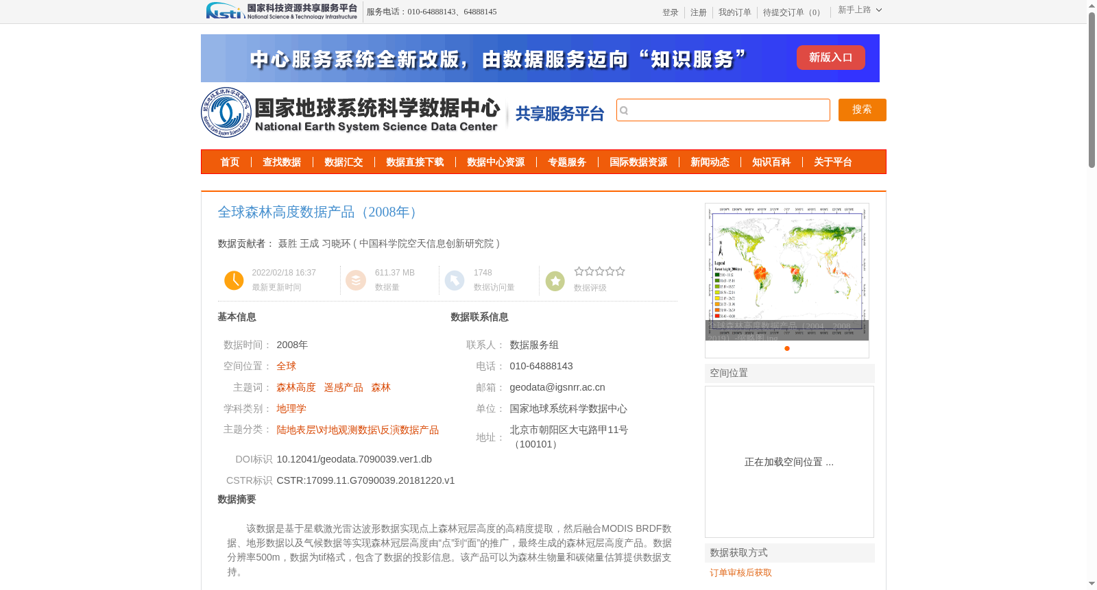
该数据是基于星载激光雷达波形数据实现点上森林冠层高度的高精度提取,然后融合MODIS BRDF数据、地形数据以及气候数据等实现森林冠层高度由“点”到“面”的推广,最终生成的森林冠层高度产品。数据分辨率500m,数据为tif格式,包含了数据的投影信息。该产品可以为森林生物量和碳储量估算提供数据支持。
This dataset is a finalized forest canopy height product, which is generated via high-precision extraction of point-level forest canopy height from space-borne lidar waveform data, followed by scaling up the point-level forest canopy height to area-level by fusing MODIS BRDF data, topographic data, climatic data and other auxiliary datasets. This dataset has a spatial resolution of 500m, is stored in TIFF format, and includes projection information. It can provide data support for the estimation of forest biomass and carbon stocks.
提供机构:
中国科学院空天信息创新研究院
创建时间:
2018-12-20
搜集汇总
数据集介绍
背景与挑战
背景概述
该数据集为2008年全球森林高度数据产品,基于星载激光雷达波形数据高精度提取森林冠层高度,融合MODIS BRDF数据、地形和气候数据生成,分辨率500m,格式为tif,可用于森林生物量和碳储量估算。数据质量验证显示均方根误差为3.15m,精度优于4m。
以上内容由遇见数据集搜集并总结生成


