澜湄流域1:250000边界图
收藏国家地球系统科学数据中心2022-06-10 更新2024-03-04 收录
下载链接:
https://www.geodata.cn/data/datadetails.html?dataguid=25540917661508&docId=8713
下载链接
链接失效反馈官方服务:
资源简介:
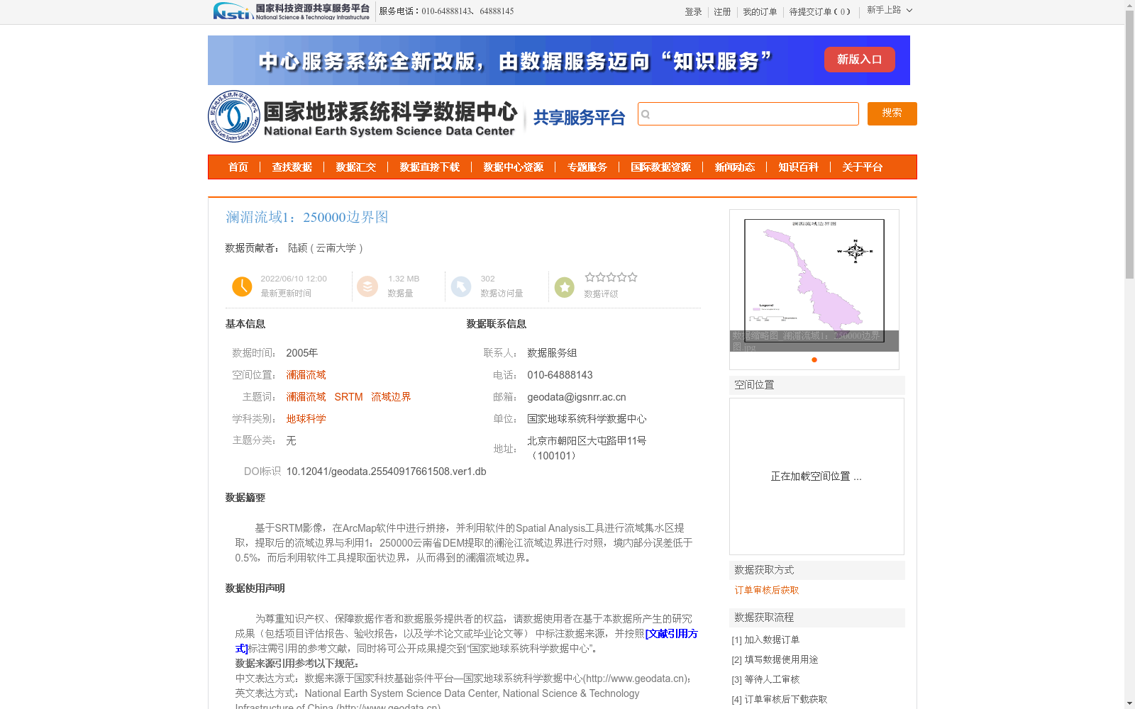
基于SRTM影像,在ArcMap软件中进行拼接,并利用软件的Spatial Analysis工具进行流域集水区提取,提取后的流域边界与利用1:250000云南省DEM提取的澜沧江流域边界进行对照,境内部分误差低于0.5%,而后利用软件工具提取面状边界,从而得到的澜湄流域边界。
Based on SRTM imagery, mosaicking was conducted in ArcMap software. Subsequently, watershed catchment areas were extracted using the Spatial Analysis toolset of the software. The extracted watershed boundaries were validated against the Lancang River watershed boundaries derived from the 1:250000 DEM of Yunnan Province, with the error within the Chinese territory segment being less than 0.5%. Finally, polygonal boundary extraction was performed via the software tools to obtain the final Lancang-Mekong River watershed boundaries.
提供机构:
云南大学
创建时间:
2022-06-10
搜集汇总
数据集介绍
背景与挑战
背景概述
该数据集是2005年发布的澜湄流域1:250000边界图,基于SRTM影像在ArcMap软件中拼接并提取流域边界,与高精度DEM数据对照后境内部分误差低于0.5%,具有较高的空间精度。数据集属于地球科学领域,适用于跨境水资源研究、流域规划等应用,数据量较小(1.32 MB),来源于国家地球系统科学数据中心,需通过订单审核获取。
以上内容由遇见数据集搜集并总结生成


