
The Administrative Boundary Maps of China: 1949-2026
收藏China Data Institute2026-03-14 收录
官方服务:
资源简介:
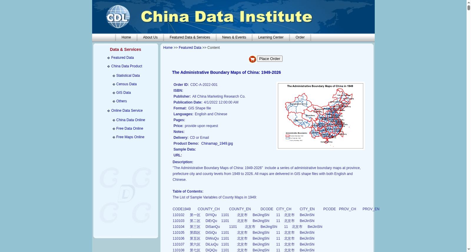
"The Administrative Boundary Maps of China: 1949-2026" include a series of administrative boundary maps at province, prefecture city and county levels from 1949 to 2026. All maps are delivered in GIS shape files with both English and Chinese.
搜集汇总
数据集介绍
背景与挑战
背景概述
该数据集提供了中国从1949年至2026年省级、地级市和县级行政边界的系列地图,所有地图均以GIS shapefile格式交付,并包含中英文双语命名,适用于历史地理信息系统分析和研究。
以上内容由遇见数据集搜集并总结生成


