青藏高原地区融雪径流模拟数据集(1980-2020)
收藏国家青藏高原科学数据中心2026-03-16 更新2025-06-07 收录
下载链接:
https://data.tpdc.ac.cn/zh-hans/data/58a8bfba-42de-4bbc-92cf-5d14e2a43482
下载链接
链接失效反馈官方服务:
资源简介:
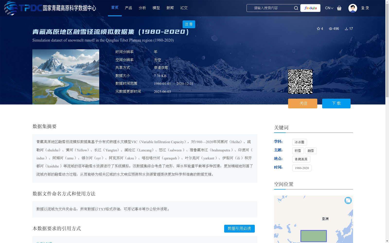
青藏高原地区融雪径流模拟数据集基于分布式物理水文模型VIC(Variable Infiltration Capacity),对1980—2020年间黑河(Heihe)、疏勒河(shulehe)、黄河(Yellow)、长江(Yangtze)、澜沧江(Lancang)、怒江(salween )、雅鲁藏布江(brahmaputra )、印度河( indus )、阿姆河(amu )、锡尔河(syr )、阿克苏河(aksu )、喀拉喀什河(qaraqash )、叶尔羌河(yarkant )、伊犁河(ili )和开都河(kaiduhe )等流域的逐年融雪水资源进行了系统模拟。该数据集综合考虑了地形、降水和能量平衡等多种因素,更加精细地刻画了流域内部的融雪动力过程,从而能够为相关区域的水文响应预测和水资源管理提供更加科学和准确的数据支撑。
The snowmelt runoff simulation dataset over the Qinghai-Tibet Plateau is developed based on the distributed physical hydrological model VIC (Variable Infiltration Capacity). It systematically simulates the annual snowmelt water resources of 14 major basins, namely the Heihe River (Heihe), Shulehe River (shulehe), Yellow River (Yellow), Yangtze River (Yangtze), Lancang River (Lancang), Salween River (salween), Brahmaputra River (brahmaputra), Indus River (indus), Amu Darya River (amu), Syr Darya River (syr), Aksu River (aksu), Qaraqash River (qaraqash), Yarkant River (yarkant), Ili River (ili) and Kaiduhe River (kaiduhe), over the period from 1980 to 2020. This dataset comprehensively incorporates multiple factors including topography, precipitation and energy balance, and more finely characterizes the dynamic snowmelt processes within the basins, thereby providing more scientific and accurate data support for hydrological response prediction and water resources management in relevant regions.
提供机构:
车涛,戴礼云,李亚珍
创建时间:
2025-05-28
搜集汇总
数据集介绍
背景与挑战
背景概述
该数据集基于VIC模型,模拟了1980-2020年间青藏高原多个流域的融雪径流,考虑了地形、降水和能量平衡等因素,为水文预测和水资源管理提供科学依据。数据以TXT格式存储,按流域分文件夹命名,需通过申请获取。
以上内容由遇见数据集搜集并总结生成


