GTA-UAV
收藏资源简介:
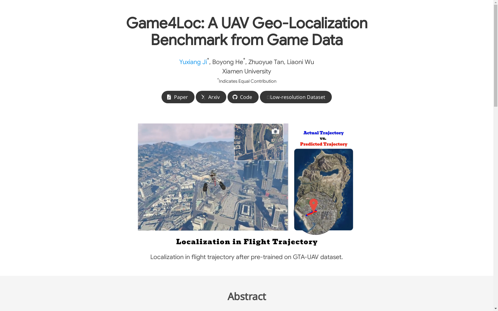
GTA-UAV数据集是由厦门大学人工智能研究所创建的一个大型无人机地理定位数据集,旨在解决无人机在GPS失效环境下的视觉定位问题。该数据集包含33,763张无人机视角图像,覆盖了城市、山地、沙漠、森林、田野和海岸等多种场景,模拟了多种飞行高度和姿态。数据集的创建过程利用了现代计算机游戏进行模拟,通过对比学习方法构建了部分匹配的无人机和卫星视角图像对。该数据集的应用领域主要集中在无人机视觉定位和地理定位任务,旨在提高无人机在复杂环境中的自主定位能力。
The GTA-UAV dataset is a large-scale UAV geolocalization dataset developed by the Artificial Intelligence Institute of Xiamen University, which aims to solve the visual localization problem of UAVs in GPS-denied environments. This dataset contains 33,763 UAV perspective images, covering diverse scenarios such as urban areas, mountains, deserts, forests, fields, coasts and more, and simulates various flight altitudes and attitudes. The dataset was created using modern computer games for simulation, and partially matched UAV and satellite perspective image pairs were constructed via contrastive learning methods. The primary application areas of this dataset focus on UAV visual localization and geolocalization tasks, with the goal of improving the autonomous localization capability of UAVs in complex environments.