TRMM卫星云图产品集(2006-2013)
收藏国家地球系统科学数据中心2016-06-20 更新2024-04-21 收录
下载链接:
https://www.geodata.cn/data/datadetails.html?dataguid=38785262250852&docId=33997
下载链接
链接失效反馈官方服务:
资源简介:
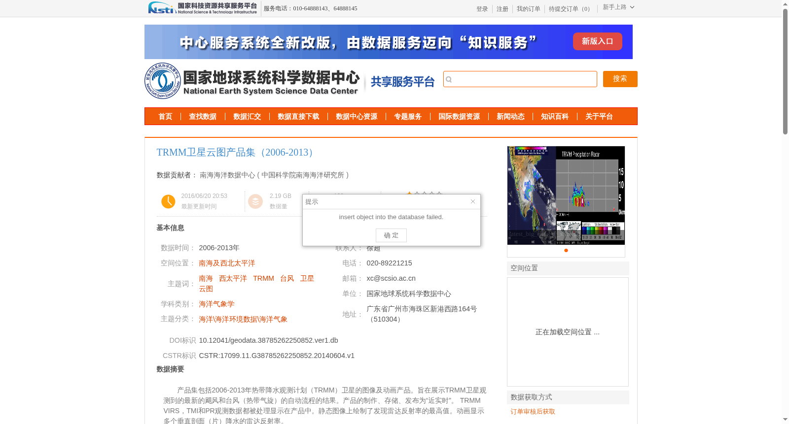
产品集包括2006-2013年热带降水观测计划(TRMM)卫星的图像及动画产品。旨在展示TRMM卫星观测到的最新的飓风和台风(热带气旋)的自动流程的结果。产品的制作、存储、发布为“近实时”。 TRMM VIRS,TMI和PR观测数据都被处理显示在产品中。静态图像上绘制了发现雷达反射率的最高值。动画显示多个垂直剖面(片)降水的雷达反射率。
The product collection includes image and animation products from the Tropical Rainfall Measuring Mission (TRMM) satellite spanning the years 2006 to 2013. It aims to showcase the results of automated processing for the latest hurricanes and typhoons (tropical cyclones) observed by the TRMM satellite. All products are produced, stored, and distributed in near-real time. Observation data from TRMM's VIRS, TMI, and PR are all processed and incorporated into these products. The maximum detected radar reflectivity values are plotted on the static images, while the animations display the radar reflectivity of precipitation across multiple vertical cross-sections (slices).
提供机构:
中国科学院南海海洋研究所
创建时间:
2014-06-04
搜集汇总
数据集介绍
背景与挑战
背景概述
该数据集包含2006-2013年热带降水观测计划(TRMM)卫星的云图及动画产品,覆盖南海及西北太平洋区域,主要用于台风(热带气旋)的监测和预测研究,为海洋防灾减灾提供科学依据。数据由南海海洋数据中心整理,包含VIRS、TMI和PR观测数据的处理结果,具有近实时发布的特点。
以上内容由遇见数据集搜集并总结生成


