中国及周边地区长时序Landsat系列卫星归一化差值水体指数(NDWI)产品集
收藏地球大数据科学工程2024-03-04 收录
下载链接:
https://data.casearth.cn/sdo/detail/6540a942819aec161bb4bade
下载链接
链接失效反馈官方服务:
资源简介:
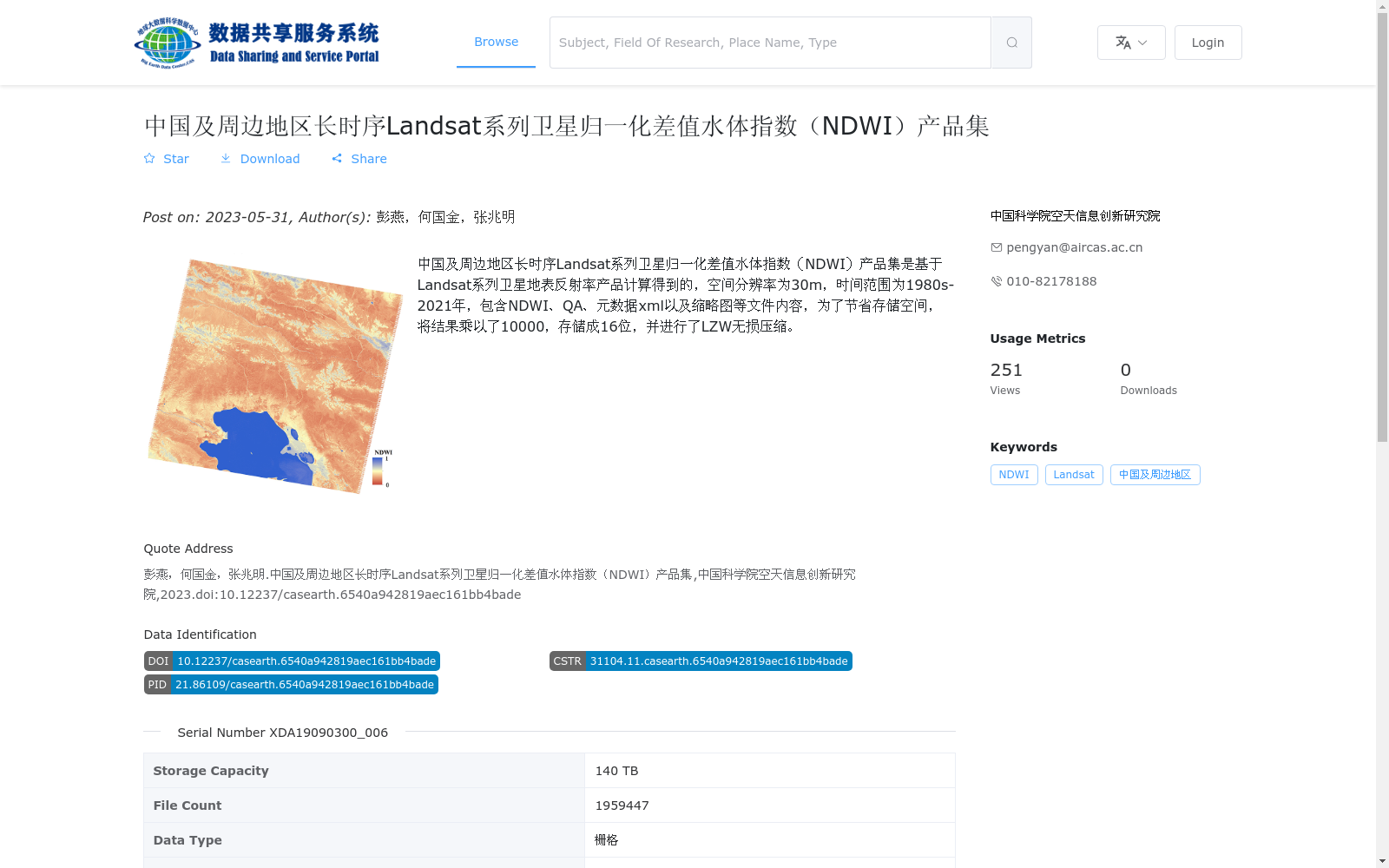
中国及周边地区长时序Landsat系列卫星归一化差值水体指数(NDWI)产品集是基于Landsat系列卫星地表反射率产品计算得到的,空间分辨率为30m,时间范围为1980s-2021年,包含NDWI、QA、元数据xml以及缩略图等文件内容,为了节省存储空间,将结果乘以了10000,存储成16位,并进行了LZW无损压缩。
The long-time-series Normalized Difference Water Index (NDWI) product set for China and its surrounding regions is calculated using Landsat series satellite surface reflectance products. It has a spatial resolution of 30 meters and covers the time period from the 1980s to 2021. This product set includes file contents such as NDWI, QA, metadata XML files, and thumbnails. To save storage space, the computed NDWI results were multiplied by 10000, stored as 16-bit data, and compressed via LZW lossless compression.
提供机构:
中国科学院空天信息创新研究院
搜集汇总
数据集介绍
背景与挑战
背景概述
该数据集是基于Landsat系列卫星地表反射率产品计算的中国及周边地区长时序归一化差值水体指数(NDWI)产品集,空间分辨率为30米,时间覆盖1980年代至2021年。数据以GeoTiff格式存储,经过乘以10000和16位LZW无损压缩处理,总存储容量达140 TB,包含近200万个文件,适用于水体监测和长期环境变化分析。
以上内容由遇见数据集搜集并总结生成


