青藏高原念青唐古拉山地区高分辨率(5m)冰川高程变化数据集(2000‒2013,2000‒2017)
收藏国家青藏高原科学数据中心2021-04-26 更新2024-03-01 收录
下载链接:
https://data.tpdc.ac.cn/zh-hans/data/8a8de414-f06b-4b47-860f-794adfa6a4ff
下载链接
链接失效反馈官方服务:
资源简介:
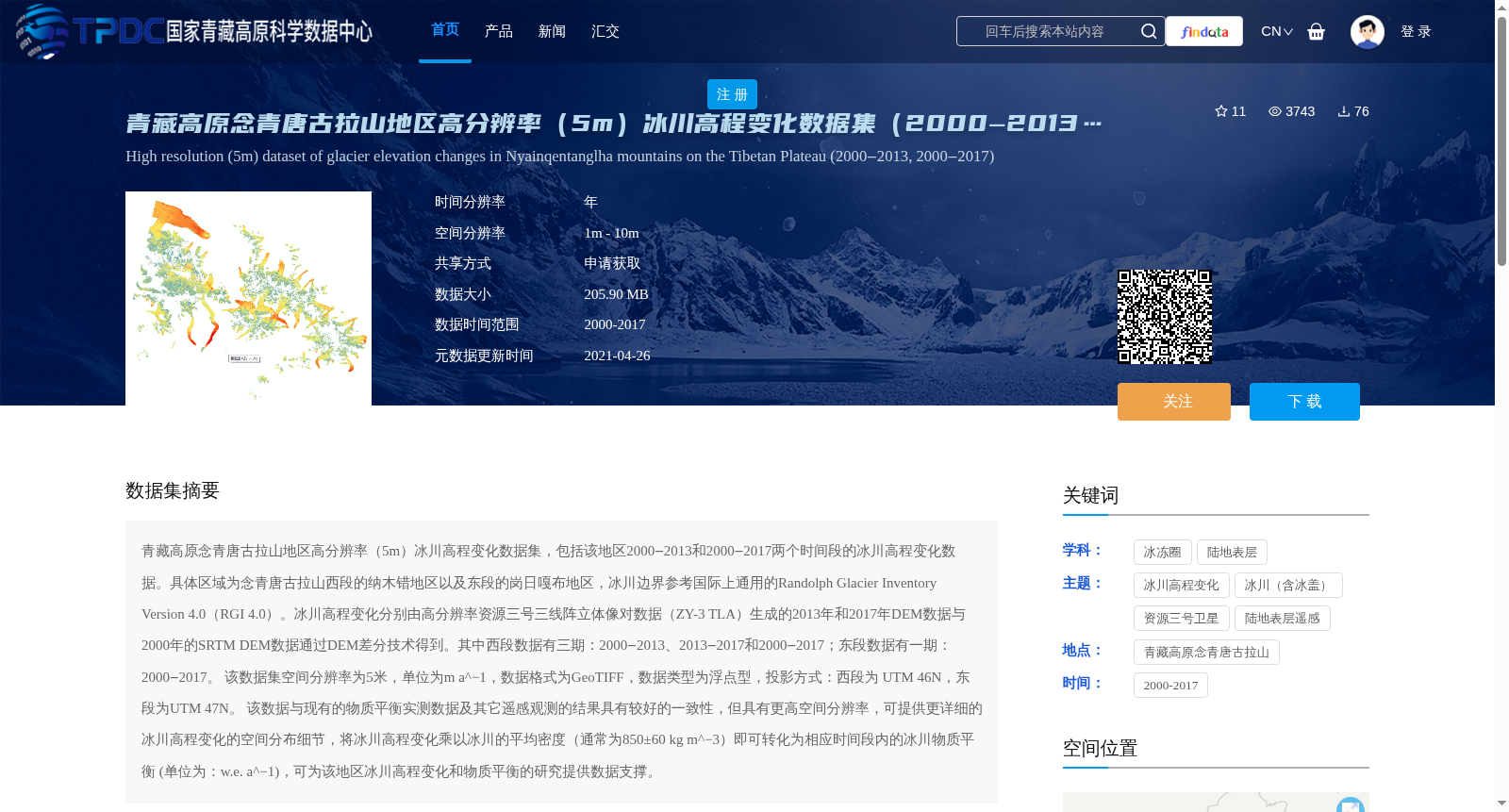
青藏高原念青唐古拉山地区高分辨率(5m)冰川高程变化数据集,包括该地区2000‒2013和2000‒2017两个时间段的冰川高程变化数据。具体区域为念青唐古拉山西段的纳木错地区以及东段的岗日嘎布地区,冰川边界参考国际上通用的Randolph Glacier Inventory Version 4.0(RGI 4.0)。冰川高程变化分别由高分辨率资源三号三线阵立体像对数据(ZY-3 TLA)生成的2013年和2017年DEM数据与2000年的SRTM DEM数据通过DEM差分技术得到。其中西段数据有三期:2000‒2013、2013‒2017和2000‒2017;东段数据有一期:2000‒2017。
该数据集空间分辨率为5米,单位为m a^−1,数据格式为GeoTIFF,数据类型为浮点型,投影方式:西段为 UTM 46N,东段为UTM 47N。
该数据与现有的物质平衡实测数据及其它遥感观测的结果具有较好的一致性,但具有更高空间分辨率,可提供更详细的冰川高程变化的空间分布细节,将冰川高程变化乘以冰川的平均密度(通常为850±60 kg m^−3)即可转化为相应时间段内的冰川物质平衡 (单位为:w.e. a^−1),可为该地区冰川高程变化和物质平衡的研究提供数据支撑。
A high-resolution (5 m) glacier elevation change dataset for the Nyainqêntanglha Mountains region on the Qinghai-Tibet Plateau, containing glacier elevation change data for two time periods: 2000–2013 and 2000–2017. The specific study areas include the Nam Co region in the western section and the Gangrigabu region in the eastern section of the Nyainqêntanglha Mountains. The glacier boundaries are referenced from the internationally recognized Randolph Glacier Inventory Version 4.0 (RGI 4.0). Glacier elevation changes were derived via DEM differencing between the 2000 SRTM DEM and the 2013 and 2017 DEMs generated from high-resolution ZiYuan-3 (ZY-3) three-line array stereo pair (TLA) data. Specifically, the western section dataset includes three time periods: 2000–2013, 2013–2017, and 2000–2017, while the eastern section dataset covers one time period: 2000–2017.
This dataset has a spatial resolution of 5 m, with the unit of m a⁻¹. The data format is GeoTIFF, with a floating-point data type. The projection systems are UTM 46N for the western section and UTM 47N for the eastern section.
This dataset shows good consistency with existing in-situ mass balance measurements and other remote sensing observations, while providing higher spatial resolution and more detailed spatial distribution details of glacier elevation changes. Multiplying the glacier elevation change by the average glacier density (typically 850±60 kg m⁻³) can convert the values into glacier mass balance over the corresponding time periods, with the unit of w.e. a⁻¹. This dataset can provide data support for studies on glacier elevation changes and mass balance in this region.
提供机构:
任少亭,贾立
创建时间:
2021-04-23
搜集汇总
数据集介绍
背景与挑战
背景概述
该数据集提供了青藏高原念青唐古拉山地区2000‒2013和2000‒2017两个时间段的冰川高程变化数据,空间分辨率为5米,数据格式为GeoTIFF。数据可用于研究冰川高程变化和物质平衡,具有高空间分辨率,能够提供详细的冰川变化空间分布细节。
以上内容由遇见数据集搜集并总结生成


