青藏工程走廊冻融灾害数据集(2019-2020)
收藏国家青藏高原科学数据中心2022-11-15 更新2024-03-01 收录
下载链接:
https://data.tpdc.ac.cn/zh-hans/data/8df419f2-b88c-4a39-a13b-3c7a82e8d367
下载链接
链接失效反馈官方服务:
资源简介:
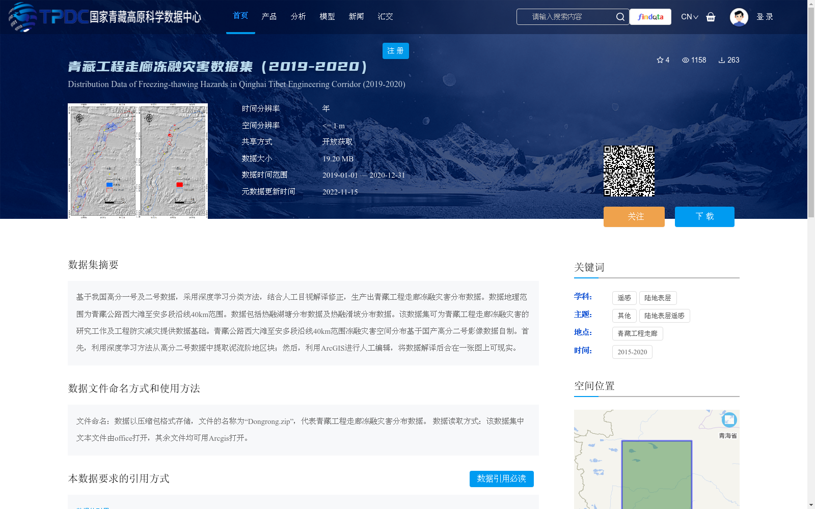
基于我国高分一号及二号数据,采用深度学习分类方法,结合人工目视解译修正,生产出青藏工程走廊冻融灾害分布数据。数据地理范围为青藏公路西大滩至安多段沿线40km范围。数据包括热融湖塘分布数据及热融滑坡分布数据。该数据集可为青藏工程走廊冻融灾害的研究工作及工程防灾减灾提供数据基础。青藏公路西大滩至安多段沿线40km范围冻融灾害空间分布基于国产高分二号影像数据自制。首先,利用深度学习方法从高分二号数据中提取泥流阶地区块;然后,利用ArcGIS进行人工编辑,将数据解译后合在一张图上可现实。
This freeze-thaw disaster distribution dataset was generated using China's GF-1 and GF-2 satellite imagery, combining deep learning classification methods with manual visual interpretation correction. The geographical coverage of the dataset is a 40 km-wide strip along the Xidatan to Amdo section of the Qinghai-Tibet Highway, and it includes two core subsets: thermokarst lake distribution data and thermokarst landslide distribution data. This dataset provides a fundamental data basis for research on freeze-thaw disasters in the Qinghai-Tibet Engineering Corridor as well as engineering disaster prevention and mitigation efforts. The spatial distribution of freeze-thaw disasters within this 40 km-wide strip was independently produced using domestic GF-2 satellite imagery; specifically, deep learning models were first used to extract mudflow terrace patches from GF-2 data, followed by manual editing in ArcGIS, and all interpreted data were merged into a single map for visualization.
提供机构:
牛富俊,罗京
创建时间:
2022-10-24
搜集汇总
数据集介绍
背景与挑战
背景概述
该数据集提供了2019年至2020年青藏工程走廊(青藏公路西大滩至安多段沿线40公里范围)的冻融灾害分布数据,包括热融湖塘和热融滑坡的空间信息。数据基于国产高分卫星影像,采用深度学习分类方法结合人工修正生产,空间分辨率高达1米,旨在支持冻融灾害研究和工程防灾减灾工作。
以上内容由遇见数据集搜集并总结生成


