有没有相关的论文或文献参考?
这个数据集是基于什么背景创建的?
数据集的作者是谁?
能帮我联系到这个数据集的作者吗?
这个数据集如何下载?
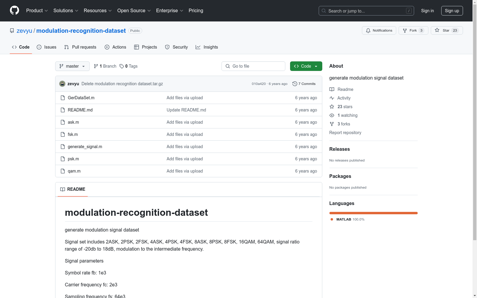
modulation-recognition-dataset
用于生成调制信号数据集。
-20 dB 至 18 dB
开源PHM数据集
本文分享了一个全球各大学、研究机构和公司捐赠的PHM(Prognostics and Health Management)开源数据集,涵盖加工制造、轨道交通、能源电力和半导体等行业的多种场景,包含部件级、设备级和产线级数据。用户可以利用这些数据开发智能分析和建模算法,数据集分类包括故障诊断、健康评估和寿命预测。
github 收录
全国 1∶200 000 数字地质图(公开版)空间数据库
As the only one of its kind, China National Digital Geological Map (Public Version at 1∶200 000 scale) Spatial Database (CNDGM-PVSD) is based on China' s former nationwide measured results of regional geological survey at 1∶200 000 scale, and is also one of the nationwide basic geosciences spatial databases jointly accomplished by multiple organizations of China. Spatially, it embraces 1 163 geological map-sheets (at scale 1: 200 000) in both formats of MapGIS and ArcGIS, covering 72% of China's whole territory with a total data volume of 90 GB. Its main sources is from 1∶200 000 regional geological survey reports, geological maps, and mineral resources maps with an original time span from mid-1950s to early 1990s. Approved by the State's related agencies, it meets all the related technical qualification requirements and standards issued by China Geological Survey in data integrity, logic consistency, location acc racy, attribution fineness, and collation precision, and is hence of excellent and reliable quality. The CNDGM-PVSD is an important component of China' s national spatial database categories, serving as a spatial digital platform for the information construction of the State's national economy, and providing informationbackbones to the national and provincial economic planning, geohazard monitoring, geological survey, mineral resources exploration as well as macro decision-making.
DataCite Commons 收录
WideIRSTD Dataset
WideIRSTD数据集包含七个公开数据集:SIRST-V2、IRSTD-1K、IRDST、NUDT-SIRST、NUDT-SIRST-Sea、NUDT-MIRSDT、Anti-UAV,以及由国防科技大学团队开发的数据集,包括模拟陆基和太空基数据,以及真实手动标注的太空基数据。数据集包含具有各种目标形状(如点目标、斑点目标、扩展目标)、波长(如近红外、短波红外和热红外)、图像分辨率(如256、512、1024、3200等)的图像,以及不同的成像系统(如陆基、空基和太空基成像系统)。
github 收录
highD
highD数据集是由亚琛工业大学汽车工程研究所创建的,旨在为高度自动化驾驶系统的安全验证提供大规模自然车辆轨迹数据。该数据集包含从德国高速公路收集的16.5小时测量数据,涵盖110,000辆车,总行驶距离达45,000公里,记录了5600次完整的变道行为。数据集通过配备高分辨率摄像头的无人机从空中视角进行测量,确保了数据的准确性和自然性。highD数据集不仅用于安全验证和影响评估,还支持交通模拟模型、交通分析、驾驶员模型和道路用户预测模型等领域的研究,旨在解决高度自动化驾驶系统在复杂交通环境中的应用问题。
arXiv 收录
SHHS Sleep Heart Health Study Dataset
SHHS(Sleep Heart Health Study)数据集是一个大型多中心研究项目,旨在研究睡眠障碍与心血管疾病之间的关系。数据集包括了参与者的睡眠记录、心血管健康指标、生活习惯、遗传信息等多方面的数据。
sleepdata.org 收录