青藏高原北部祁连山活动层厚度实测数据集 (2011-2014)
收藏国家青藏高原科学数据中心2022-04-18 更新2024-03-01 收录
下载链接:
https://data.tpdc.ac.cn/zh-hans/data/24605a33-1f0b-4655-8c25-bb2fc60d5c3e
下载链接
链接失效反馈官方服务:
资源简介:
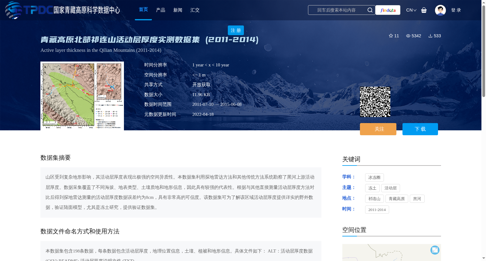
山区受到复杂地形影响,其活动层厚度表现出极强的空间异质性。本数据集利用探地雷达方法和其他传统方法系统勘察了黑河上游活动层厚度。数据采集覆盖了不同海拔、地表类型、土壤质地和地形信息,因此具有较强的代表性。根据与其他直接测量活动层厚度方法对比后得到探地雷达测量的活动层厚度数据误差约为8cm,具有非常高的可信度。该数据集可为了解该区域活动层厚度提供详实的野外数据,验证陆面模型,尤其是冻土研究,提供验证数据集。
Mountainous areas are impacted by complex topography, leading to pronounced spatial heterogeneity in active layer thickness (ALT). This dataset systematically investigated the active layer thickness in the upper reaches of the Heihe River using ground-penetrating radar (GPR) and other conventional field measurement methods. Data acquisition covered diverse elevations, surface types, soil textures and topographic features, thereby granting strong representativeness to the dataset. Comparison with other direct ALT measurement methods shows that the error of GPR-measured ALT data is approximately 8 cm, demonstrating very high reliability. This dataset provides comprehensive in-situ field data for understanding the active layer thickness in this region, and serves as a validation dataset for land surface models, particularly in permafrost-related research.
提供机构:
曹斌
创建时间:
2020-07-16
搜集汇总
数据集介绍
背景与挑战
背景概述
该数据集包含2011-2014年青藏高原北部祁连山地区的活动层厚度实测数据,共198条记录,涵盖地理位置、土壤、植被和地形信息。数据通过探地雷达等传统方法采集,误差约8cm,可信度高,适用于冻土研究和陆面模型验证。
以上内容由遇见数据集搜集并总结生成


