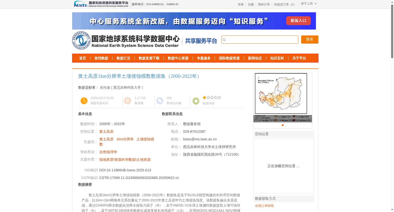
黄土高原1km分辨率土壤侵蚀模数数据集(2000-2022年)
收藏国家地球系统科学数据中心2025-10-13 更新2025-12-20 收录
下载链接:
https://www.geodata.cn/data/datadetails.html?dataguid=245850093202685&docId=841
下载链接
链接失效反馈官方服务:
资源简介:
黄土高原1km分辨率土壤侵蚀模数(2000-2022年)数据集是基于RUSLE模型构建的长时序空间数据产品,以1km×1km网格单元系统量化了2000-2022年黄土高原年均土壤侵蚀强度。该数据集融合多源遥感,通过CHIRPS降水数据反演降水侵蚀力因子(R),基于HWSD V2全球土壤属性数据提取土壤可蚀性因子(K),基于SRTM DEM地形数据生成坡度坡长地形因子(LS),采用MODIS MOD13A1 NDVI植被指数(500m分辨率)获取植被覆盖管理因子(C),并结合中国多时期土地利用遥感影像辨识水土保持工程措施因子(P)。数据可有效支撑水土保持效益评估、极端气候侵蚀响应分析、黄河流域生态治理规划,并为区域碳循环模拟与土地退化研究提供关键科学数据基础。
The 1km-resolution soil erosion modulus dataset (2000–2022) of the Loess Plateau is a long-term spatial data product constructed based on the RUSLE model, which systematically quantifies the annual average soil erosion intensity of the Loess Plateau from 2000 to 2022 using 1km×1km grid cells as the basic unit. This dataset integrates multi-source remote sensing data: it inverts the rainfall erosivity factor (R) using CHIRPS precipitation data, extracts the soil erodibility factor (K) based on the HWSD V2 global soil attribute dataset, generates the slope-length and steepness (LS) topographic factor using SRTM DEM terrain data, obtains the vegetation cover and management factor (C) with the 500m-resolution MODIS MOD13A1 NDVI vegetation index, and identifies the soil and water conservation engineering measures factor (P) by combining multi-temporal land use remote sensing images of China. This dataset can effectively support the evaluation of soil and water conservation benefits, analysis of extreme climate erosion responses, and ecological governance planning of the Yellow River Basin, and provides a key scientific data foundation for regional carbon cycle simulation and land degradation research.
提供机构:
西北农林科技大学
创建时间:
2025-09-22
搜集汇总
数据集介绍
背景与挑战
背景概述
该数据集为黄土高原2000-2022年1km分辨率土壤侵蚀模数数据,基于RUSLE模型构建,融合多源遥感数据计算各侵蚀因子,适用于水土保持效益评估、极端气候侵蚀响应分析等研究。
以上内容由遇见数据集搜集并总结生成


