青藏高原50米分辨率DEM数据(2006-2011)
收藏国家青藏高原科学数据中心2025-02-07 更新2025-03-08 收录
下载链接:
https://data.tpdc.ac.cn/zh-hans/data/d8e033aa-6665-4581-8c99-ad4339b861ee
下载链接
链接失效反馈官方服务:
资源简介:
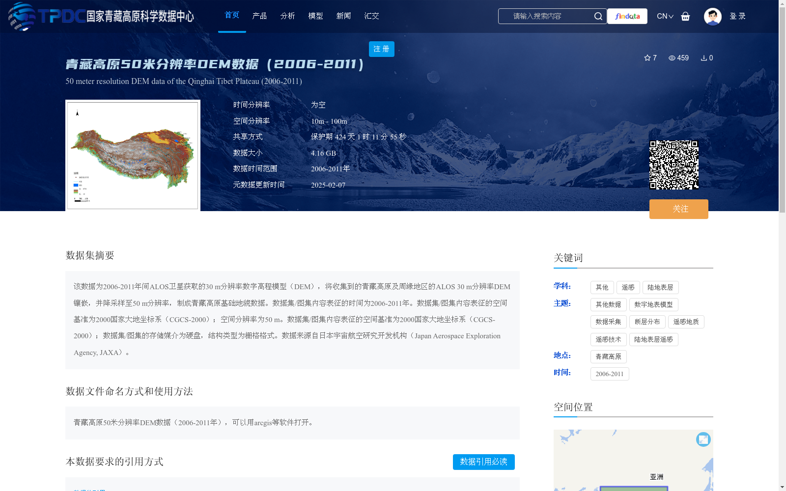
该数据为2006-2011年间ALOS卫星获取的30 m分辨率数字高程模型(DEM),将收集到的青藏高原及周缘地区的ALOS 30 m分辨率DEM镶嵌,并降采样至50 m分辨率,制成青藏高原基础地貌数据。数据集/图集内容表征的时间为2006-2011年。数据集/图集内容表征的空间基准为2000国家大地坐标系(CGCS-2000);空间分辨率为50 m。数据集/图集内容表征的空间基准为2000国家大地坐标系(CGCS-2000);数据集/图集的存储媒介为硬盘,结构类型为栅格格式。数据来源自日本宇宙航空研究开发机构(Japan Aerospace Exploration Agency, JAXA)。
This dataset is a 30 m-resolution Digital Elevation Model (DEM) acquired by the ALOS satellite between 2006 and 2011. We mosaicked the collected ALOS 30 m-resolution DEMs covering the Qinghai-Tibet Plateau and its surrounding areas, then downsampled them to 50 m resolution to create the basic geomorphic dataset of the Qinghai-Tibet Plateau. The temporal coverage of this dataset/atlas is 2006 to 2011. The spatial reference system of this dataset/atlas is the China Geodetic Coordinate System 2000 (CGCS-2000); the spatial resolution is 50 m. The spatial reference system of this dataset/atlas is the China Geodetic Coordinate System 2000 (CGCS-2000); the storage medium of this dataset/atlas is hard disk, and the data structure is raster format. The data is sourced from the Japan Aerospace Exploration Agency (JAXA).
提供机构:
郑文俊,孙鑫
创建时间:
2025-01-04
搜集汇总
数据集介绍
背景与挑战
背景概述
该数据集是青藏高原2006-2011年间的50米分辨率数字高程模型(DEM),基于ALOS卫星30米分辨率DEM降采样处理而成,用于基础地貌表征,数据采用CGCS-2000坐标系,格式为栅格,大小为4.16 GB,来源于日本JAXA并由国家青藏高原科学数据中心共享。
以上内容由遇见数据集搜集并总结生成


