廓琼岗日冰川高分辨率表面形态数据集(2020-2021)
收藏国家青藏高原科学数据中心2022-06-09 更新2024-03-01 收录
下载链接:
https://data.tpdc.ac.cn/zh-hans/data/7dc2bbca-4e4d-46b5-8b06-eeee2fbde9d4
下载链接
链接失效反馈官方服务:
资源简介:
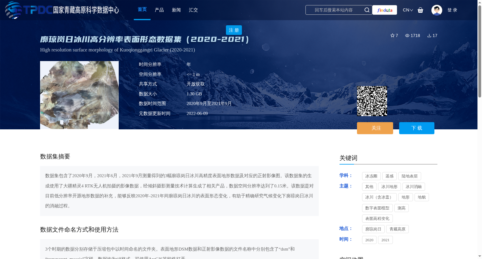
数据集包含了2020年9月,2021年6月,2021年9月测量得到的3幅廓琼岗日冰川高精度表面地形数据及对应的正射影像图。该数据集的生成使用了大疆精灵4 RTK无人机拍摄的影像数据,经倾斜摄影测量技术计算生成了相关产品,数据空间分辨率达到了0.15米。该数据是对目前低分辨率开源地形数据的补充,能够反映2020年-2021年间廓琼岗日冰川的表面形态变化,有助于精确研究气候变化下廓琼岗日冰川的消融过程。
This dataset contains three sets of high-precision surface topographic data and corresponding orthophoto maps for the Kuoqinggangri Glacier, acquired in September 2020, June 2021, and September 2021. These products were generated using imagery captured by a DJI Phantom 4 RTK unmanned aerial vehicle (UAV) via oblique photogrammetry technology, with a spatial resolution of 0.15 meters. This dataset supplements existing low-resolution open-source topographic data, as it can reflect the surface morphological changes of the Kuoqinggangri Glacier between 2020 and 2021, thereby facilitating accurate research on the ablation process of this glacier under climate change.
提供机构:
刘金涛
创建时间:
2022-05-29
搜集汇总
数据集介绍
背景与挑战
背景概述
该数据集提供了2020年9月至2021年9月期间廓琼岗日冰川的高分辨率表面形态数据,包括三个时期的表面地形和正射影像,空间分辨率达0.15米,由无人机倾斜摄影测量技术生成。它作为对低分辨率开源地形数据的补充,旨在精确反映冰川表面形态变化,支持气候变化下冰川消融过程的研究。
以上内容由遇见数据集搜集并总结生成


