UGS-1m: Fine-grained urban green space mapping of 31 major cities in China based on the deep learning framework
收藏DataCite Commons2025-04-27 更新2025-05-18 收录
下载链接:
https://www.scidb.cn/detail?dataSetId=36af2aed281e4c82aa8a3cd3f1211a37
下载链接
链接失效反馈官方服务:
资源简介:
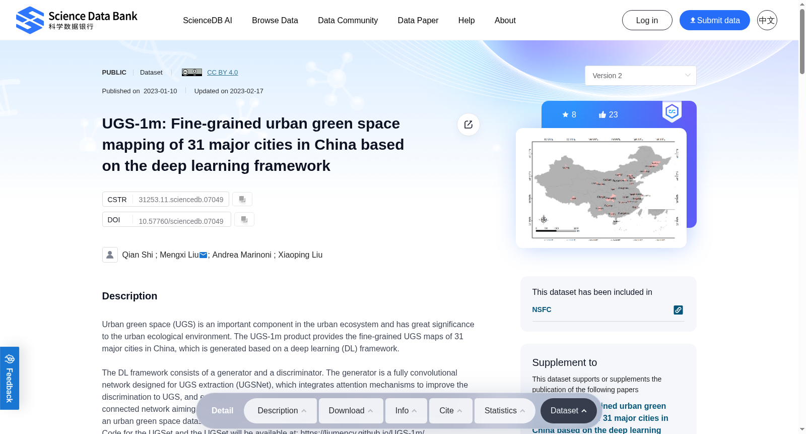
Urban green space (UGS) is an important component in the urban ecosystem and has great significance to the urban ecological environment. The UGS-1m product provides the fine-grained UGS maps of 31 major cities in China, which is generated based on a deep learning (DL) framework.The DL framework consists of a generator and a discriminator. The generator is a fully convolutional network designed for UGS extraction (UGSNet), which integrates attention mechanisms to improve the discrimination to UGS, and employs a point rending strategy for edge recovery. The discriminator is a fully connected network aiming to deal with the domain shift between images. To support the model training, an urban green space dataset (UGSet) with a total number of 4,554 samples of size 512×512 is provided. Code for the UGSet and the UGSet will be available at: https://liumency.github.io/UGS-1m/. The main steps to obtain UGS-1m can be summarized as follows: a) Firstly, the UGSNet will be pre-trained on the UGSet in order to get a good starting training point for the generator; b) After pre-training on the UGSet, the discriminator is responsible to adapt the pre-trained UGSNet to different cities through adversarial training; c) Finally, the UGS results of the 31 major cities in China (UGS-1m) are obtained using 2,179 Google Earth images with a data frame of 7'30" in longitude and 5'00" in latitude, and a spatial resolution of nearly 1.1 meters. Evaluating the performance of the proposed framework on samples from five sample cities shows the validity of the UGS-1m products, with an average overall accuracy (OA) of 87.56% and an F1 score of 74.86%.Dataset Descriptions1) UGS-1m.zip: the fine-grained UGS map product of 31 major cities in China2) UGSet.zip: the large benchmark dataset to support and foster the UGS research3) GUB_Data.zip: the Global Urban Boundary data of each city4) GE_Imagery_DataFrame.zip: the grid data of the Google Earth images in “.shp” format, providing the image composition of each city5) other Zip files named by city names: the Google Earth images of each city
城市绿地(Urban green space, UGS)是城市生态系统的重要组成部分,对城市生态环境具有重要价值。本次发布的UGS-1m数据集产品提供了中国31个重点城市的精细化城市绿地地图,该数据集基于深度学习(Deep Learning, DL)框架生成。该深度学习框架由生成器与判别器两部分构成:生成器为专为城市绿地提取设计的全卷积网络(命名为UGSNet),其集成了注意力机制以提升对城市绿地的辨别能力,并采用点渲染(point rending)策略完成边缘修复;判别器则为全连接网络,旨在解决图像间的域偏移问题。为支撑模型训练,本研究同步发布了包含4554张512×512分辨率样本的城市绿地基准数据集UGSet。UGSet与本框架的相关代码将公开于:https://liumency.github.io/UGS-1m/。
UGS-1m数据集的生成流程可概括为以下三步:
a) 首先,依托UGSet对UGSNet进行预训练,为生成器获取优质的初始训练起点;
b) 完成UGSet上的预训练后,通过对抗训练,由判别器适配预训练后的UGSNet至不同城市场景;
c) 最终,利用2179张谷歌地球(Google Earth)影像完成中国31个重点城市的城市绿地提取,得到UGS-1m产品。所用影像的经纬度覆盖范围为经度7分30秒、纬度5分0秒,空间分辨率近1.1米。
在5个样本城市的测试样本上对所提框架的性能进行评估,结果验证了UGS-1m产品的有效性,其平均总体精度(Overall Accuracy, OA)达87.56%,F1分数为74.86%。
数据集详情如下:
1) UGS-1m.zip:包含中国31个重点城市的精细化城市绿地地图产品;
2) UGSet.zip:用于支撑与推动城市绿地相关研究的大型基准数据集;
3) GUB_Data.zip:各城市的全球城市边界(Global Urban Boundary, GUB)数据;
4) GE_Imagery_DataFrame.zip:格式为.shp的谷歌地球影像栅格数据,提供各城市的影像覆盖范围信息;
5) 其余以城市名称命名的压缩文件:各城市对应的谷歌地球原始影像。
提供机构:
Science Data Bank
创建时间:
2023-01-10
搜集汇总
数据集介绍
背景与挑战
背景概述
UGS-1m是一个基于深度学习框架生成的中国31个主要城市精细绿地地图数据集,包含绿地地图、基准数据集和全球城市边界数据,平均准确率87.56%。
以上内容由遇见数据集搜集并总结生成


