上海市1:100万土壤类型图(2018年)
收藏国家地球系统科学数据中心2024-07-09 更新2024-03-04 收录
下载链接:
https://www.geodata.cn/data/datadetails.html?dataguid=192862798863434&docId=2999
下载链接
链接失效反馈官方服务:
资源简介:
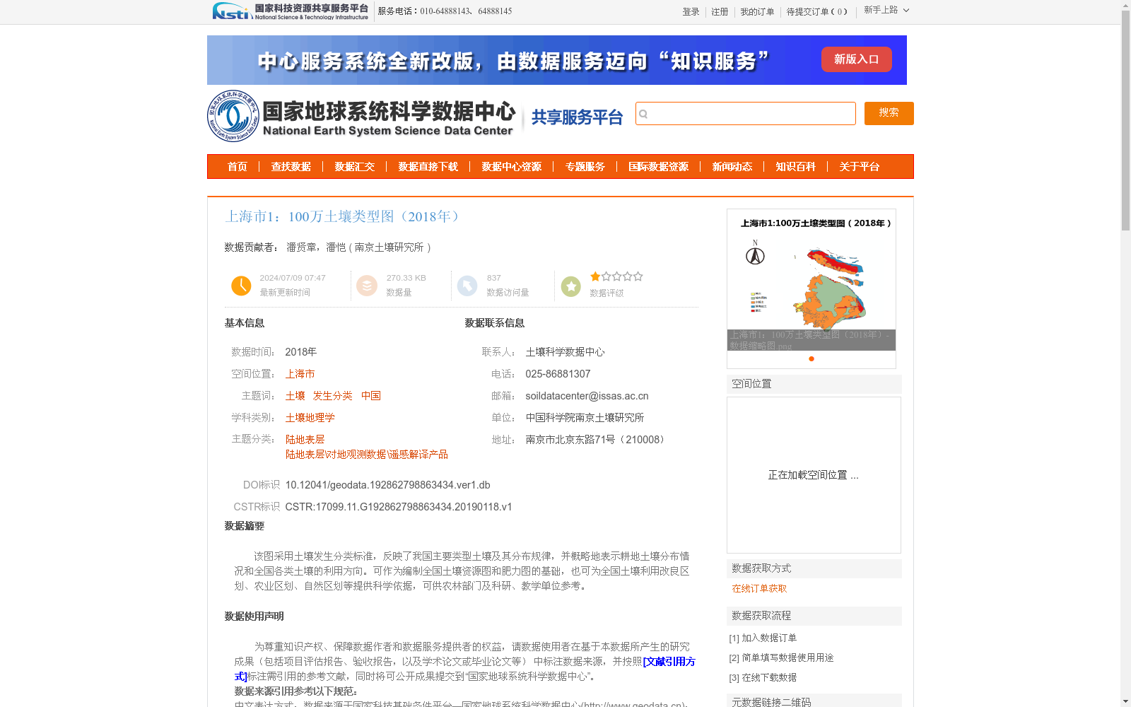
该图采用土壤发生分类标准,反映了我国主要类型土壤及其分布规律,并概略地表示耕地土壤分布情况和全国各类土壤的利用方向。可作为编制全国土壤资源图和肥力图的基础,也可为全国土壤利用改良区划、农业区划、自然区划等提供科学依据,可供农林部门及科研、教学单位参考。
This map adopts the genetic soil classification standard, which depicts the major soil types in China and their spatial distribution patterns, as well as roughly illustrates the distribution of cultivated soils and the utilization directions of all soil types across the country. It can serve as the basis for compiling national soil resource maps and soil fertility maps, provide scientific support for the formulation of national soil utilization and improvement zoning, agricultural regionalization, natural regionalization and other relevant plans, and can be referenced by agricultural and forestry departments, scientific research institutions and educational institutions.
提供机构:
南京土壤研究所
创建时间:
2019-01-18
搜集汇总
数据集介绍
背景与挑战
背景概述
该数据集是2018年上海市的1:100万比例尺土壤类型图,采用土壤发生分类标准,数字化自全国第二次土壤普查资料并融合最新土地利用数据更新而成。它系统反映了上海市土壤类型分布规律,可用于土壤资源评估、农业区划等科研与应用,数据经过严格质控,空间投影为Albers_Conical_Equal_Area,仅限科学研究使用。
以上内容由遇见数据集搜集并总结生成


