Rockfall Source Areas, Kitzsteinhorn, Austria (2011-2017)
收藏资源简介:
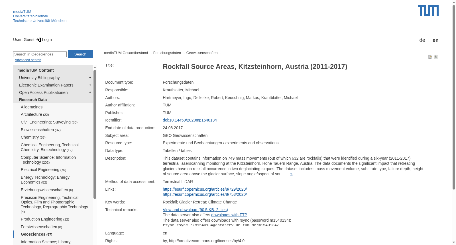
This dataset contains information on 749 mass movements (out of which 632 are rockfalls) that were identified during a six-year (2011-2017) terrestrial laserscanning monitoring at the Kitzsteinhorn, Hohe Tauern Range, Austria. The data documents the significant impact that retreating glaciers have on rockfall occurrence in two deglaciating cirques. The dataset includes: mass movement volume, substrate type, failure depth, height of source area above the glacier surface, slope angle/aspect of source area. An extensive analysis and interpretation of the dataset can be found in two research papers published in the open-access journal “Earth Surface Dynamics” (Hartmeyer et al. 2020). Funding information: Data acquisition was co-funded by the Austrian Academy of Sciences (ÖAW) (Project ‘GlacierRocks’) and the Austrian Research Promotion Agency (FFG) (Project ‘MOREXPERT’).
本数据集收录了2011至2017年共计六年的地面激光扫描(terrestrial laserscanning)监测期间所识别出的749处块体运动(mass movement)相关信息,其中632处为落石(rockfalls)。该数据集记录了冰川退缩对两处正处于冰川消退过程中的冰斗(cirques)区内落石发生情况的显著影响。本数据集涵盖以下参数:块体运动体积、基底类型、破坏深度、冰面上方源区高度、源区坡度角与坡向。针对该数据集的详尽分析与解读可参阅发表于开放获取期刊《地表动力学》("Earth Surface Dynamics")的两篇研究论文(Hartmeyer等人,2020年)。本数据集的数据采集工作由奥地利科学院(ÖAW)资助的"GlacierRocks"项目,以及奥地利研究促进署(FFG)资助的"MOREXPERT"项目共同资助。