中国10m建筑物高度CNBH数据集(2020年)
收藏资源简介:
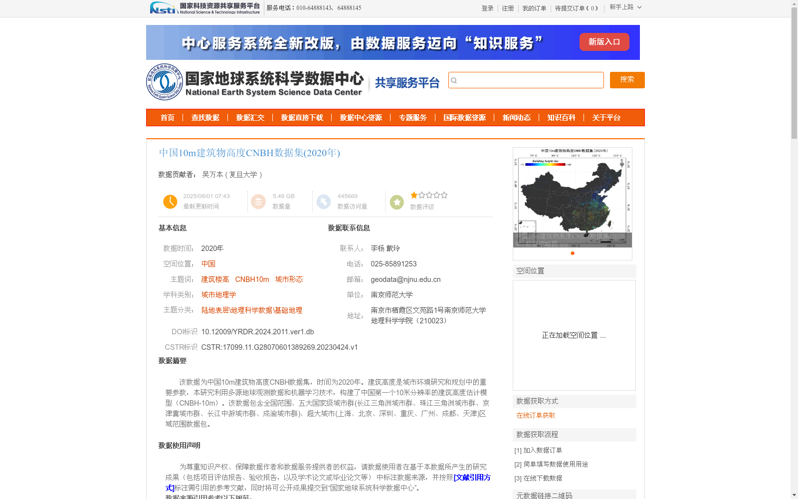
该数据为中国10m建筑物高度CNBH数据集,时间为2020年。建筑高度是城市环境研究和规划中的重要参数,本研究利用多源地球观测数据和机器学习技术,构建了中国第一个10米分辨率的建筑高度估计模型(CNBH-10m)。该数据包含全国范围、五大国家级城市群(长江三角洲城市群、珠江三角洲城市群、京津冀城市群、长江中游城市群、成渝城市群)、超大城市(上海、北京、深圳、重庆、广州、成都、天津)区域范围数据包。
This is the 10-meter resolution building height CNBH dataset of China, corresponding to the year 2020. Building height serves as a critical parameter for urban environmental research and urban planning. In this study, we developed China's first 10-meter resolution building height estimation model (CNBH-10m) using multi-source Earth observation data and machine learning technologies. The dataset includes regional data packages covering the entire national territory, the five national-level urban agglomerations (Yangtze River Delta Urban Agglomeration, Pearl River Delta Urban Agglomeration, Beijing-Tianjin-Hebei Urban Agglomeration, Middle Yangtze River Urban Agglomeration, Chengdu-Chongqing Urban Agglomeration), as well as the megacities (Shanghai, Beijing, Shenzhen, Chongqing, Guangzhou, Chengdu, Tianjin).