基于无人机影像的粮食种植面积边缘检测数据
收藏资源简介:
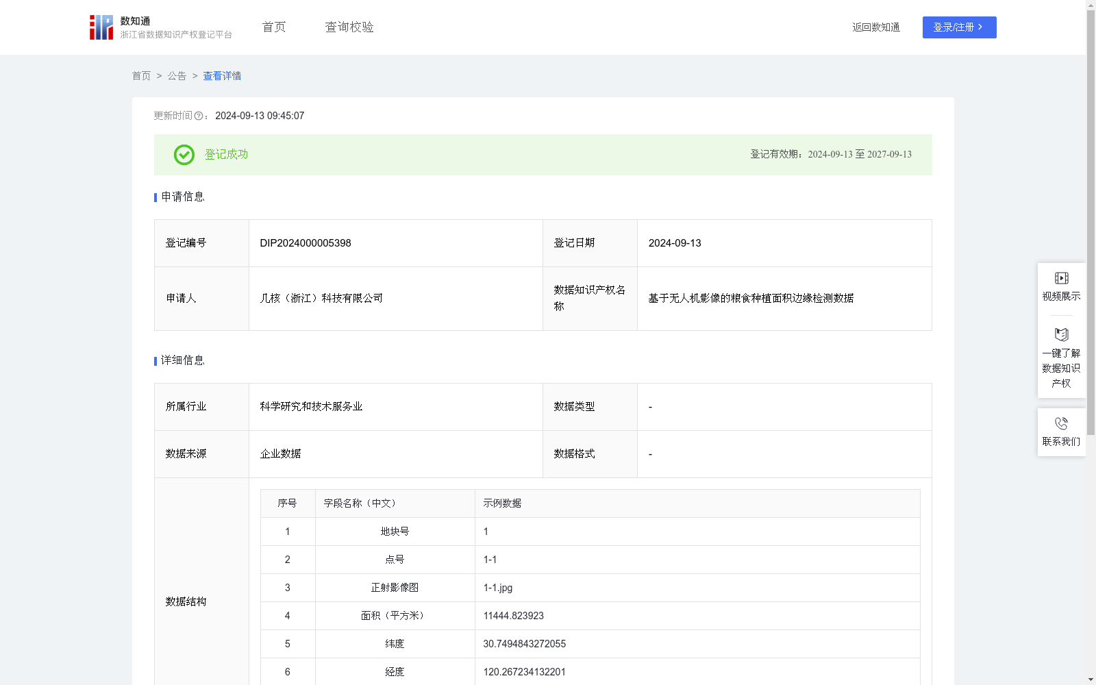
粮食安全是国家安全的重要基础。稳定播种面积、保证粮食产量对保障粮食安全至关重要。本数据通过对无人机影像提取规模粮食种植范围边缘,实现对粮食种植面积的统计分析,可用于粮食补贴发放,推进粮油产业一体化发展。1.数据采集来源:使用无人机获取粮食种植范围的正摄影像图,将影像数据进行收集整理,清洗数据以避免极端误差的干扰2.前期工作:基于种植作物的影像纹理特征,采用 YOLOv6算法,获取粮食种植边缘范围线,将边缘线转化为经纬度,实现粮食种植面积统计分析;3.数据处理:将粮食种植边缘范围线与村行政区界线进行叠加,确定该范围所属行政村,为粮食补贴发放、确保粮食产量提供依据。
Food security is a fundamental pillar of national security. Stabilizing sown areas and ensuring grain output are critical to guaranteeing food security. This dataset extracts the boundaries of large-scale grain cultivation areas from UAV imagery to conduct statistical analysis of grain planting areas, which can be applied to grain subsidy distribution and promote the integrated development of grain and oil industries. 1. Data Collection Source: UAV-acquired orthophotos of grain cultivation areas are collected and organized, followed by data cleaning to eliminate interference from extreme errors. 2. Preliminary Work: Based on the image texture features of cultivated crops, the YOLOv6 algorithm is utilized to obtain the boundary lines of grain cultivation areas, which are then converted into longitude and latitude coordinates to achieve statistical analysis of grain planting areas. 3. Data Processing: The grain cultivation boundary lines are overlaid with village administrative boundary lines to confirm the affiliated administrative village of each area, providing a reliable basis for grain subsidy distribution and ensuring grain output.