
Global High Resolution Dust Emission Inventory for Chemical Transport Models
收藏Mendeley Data2024-03-27 更新2024-06-28 收录
下载链接:
https://zenodo.org/record/4060248
下载链接
链接失效反馈官方服务:
资源简介:
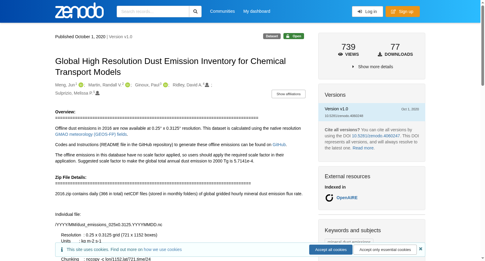
Overview: ================================================================================== Offline dust emissions in 2016 are now available at 0.25° x 0.3125° resolution. This dataset is calculated using the native resolution GMAO meteorology (GEOS-FP) fields. Codes and Instructions (README file in the GitHub repository) to generate these offline emissions can be found on GitHub. The offline emissions in this database have no scale factor applied, so users should apply the required scale factor in their application. Suggested scale factor to make the global total annual dust emission to 2000 Tg is 5.7141e-4. Zip File Details: =============================================================================== 2016.zip contains daily (366 in total) netCDF files (stored in monthly folders) of global gridded hourly mineral dust emission flux rate. Individual file: /YYYY/MM/dust_emissions_025x0.3125.YYYYMMDD.nc Resolution : 0.25 x 0.3125 grid (721 x 1152 boxes) Units : kg m-2 s-1 Timestamps : Hourly, 2016 Compression : Level 1 (nccopy -d1) Chunking : nccopy -c lon/1152,lat/721,time/24 Variables in each file: EMIS_DST1, EMIS_DST2, EMIS_DST3 and EMIS_DST4 represent dust emission flux rate in four size bins (0.1-1.0, 1.0-1.8, 1.8-3.0, and 3.0-6.0 micro in radius). *Version 2020_v1.0 of this dataset was produced to accompany the following manuscript: Meng, Jun, R. V. Martin, P. Ginoux, M. Hammer, M. P. Sulprizio, D. A. Ridley, and A. van Donkelaar, Grid-independent high resolution dust emissions (v1.0) for chemical transport models: application to GEOS-Chem (version 12.5.0), Geoscientific Model Development, Submitted
数据集概览:
目前已发布分辨率为0.25°×0.3125°的2016年离线沙尘排放数据。本数据集基于原生分辨率的GMAO气象场(GEOS-FP)计算得到。生成此类离线排放数据的代码与操作说明(GitHub仓库内的README文件)可在GitHub平台获取。本数据库中的离线排放数据未应用缩放因子,用户需在实际应用中自行添加所需缩放因子。建议使用缩放因子5.7141×10^-4,可将全球年度沙尘排放总量校准至2000 Tg。
压缩包详情:
2016.zip包含共计366个逐日的netCDF格式文件,存储于按月划分的文件夹中,数据为全球网格化逐小时矿物沙尘排放通量率。
单个文件路径格式:/YYYY/MM/dust_emissions_025x0.3125.YYYYMMDD.nc
分辨率:0.25°×0.3125°网格(共721×1152个网格单元)
单位:千克每平方米每秒(kg·m⁻²·s⁻¹)
时间戳:2016年逐小时数据
压缩级别:1级(采用nccopy -d1命令进行压缩)
分块策略:nccopy -c lon/1152,lat/721,time/24
各文件包含的变量:EMIS_DST1、EMIS_DST2、EMIS_DST3与EMIS_DST4分别对应4个粒径区间(半径0.1~1.0μm、1.0~1.8μm、1.8~3.0μm与3.0~6.0μm)的沙尘排放通量率。
本数据集2020_v1.0版本配套发表于以下学术稿件:Meng, Jun、R. V. Martin、P. Ginoux、M. Hammer、M. P. Sulprizio、D. A. Ridley与A. van Donkelaar的《用于化学传输模型的独立网格高分辨率沙尘排放数据集(v1.0):在GEOS-Chem(12.5.0版本)中的应用》,刊载于《Geoscientific Model Development》,已投稿。
创建时间:
2023-06-28
搜集汇总
数据集介绍
背景与挑战
背景概述
该数据集提供2016年全球高分辨率(0.25° x 0.3125°)矿物粉尘排放数据,包含四种粒径范围的每小时排放通量率,适用于化学传输模型研究。数据以netCDF格式存储,基于GEOS-FP气象场计算,并建议使用5.7141e-4的比例因子进行标准化处理。
以上内容由遇见数据集搜集并总结生成



