长江流域0.008333°分辨率到河口距离数据集(2020年)
收藏国家地球系统科学数据中心2022-07-11 更新2024-03-04 收录
下载链接:
https://www.geodata.cn/data/datadetails.html?dataguid=7218278&docId=7385
下载链接
链接失效反馈官方服务:
资源简介:
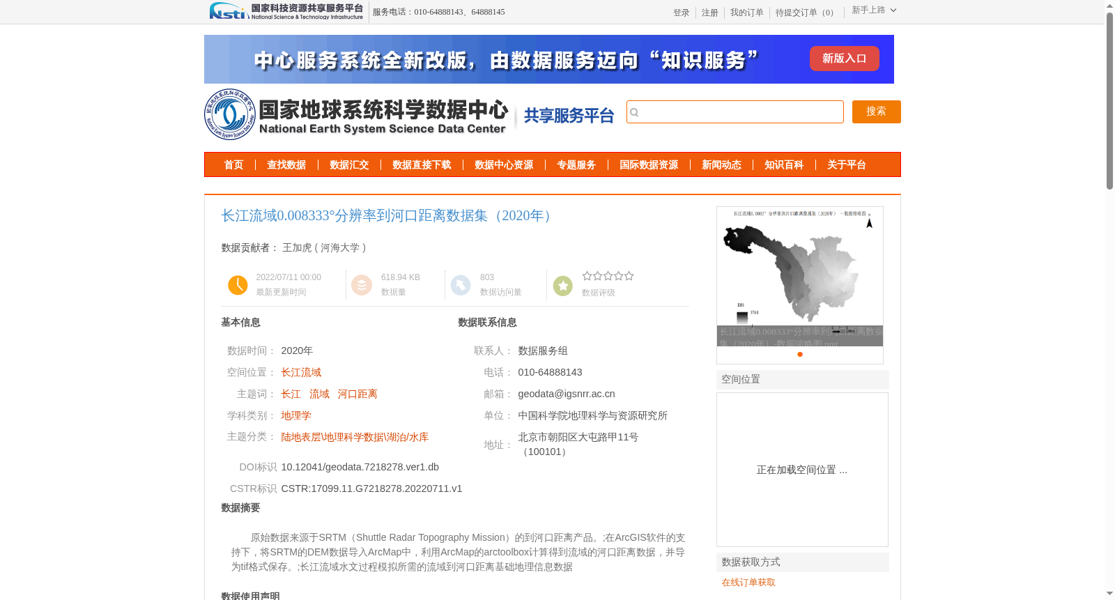
原始数据来源于SRTM(Shuttle Radar Topography Mission)的到河口距离产品。;在ArcGIS软件的支持下,将SRTM的DEM数据导入ArcMap中,利用ArcMap的arctoolbox计算得到流域的河口距离数据,并导为tif格式保存。;长江流域水文过程模拟所需的流域到河口距离基础地理信息数据
The original data is sourced from the distance-to-mouth product of the SRTM (Shuttle Radar Topography Mission). With the support of ArcGIS software, the SRTM DEM data was imported into ArcMap, and the basin distance-to-mouth data was calculated via ArcMap's ArcToolbox before being exported and saved in TIFF format. This is a basic geospatial dataset of basin distance-to-mouth values required for hydrological process simulation of the Yangtze River Basin.
提供机构:
河海大学
创建时间:
2022-07-11
搜集汇总
数据集介绍
背景与挑战
背景概述
该数据集提供了2020年长江流域0.008333°分辨率的到河口距离数据,基于SRTM的DEM数据通过ArcGIS处理生成,适用于水文模拟和地理学研究。
以上内容由遇见数据集搜集并总结生成


