江苏省土地利用数据(1980、1990、1995、2000、2005、2010、2015年)
收藏国家地球系统科学数据中心2020-06-22 更新2024-03-04 收录
下载链接:
https://www.geodata.cn/data/datadetails.html?dataguid=76358132745089&docId=12993
下载链接
链接失效反馈官方服务:
资源简介:
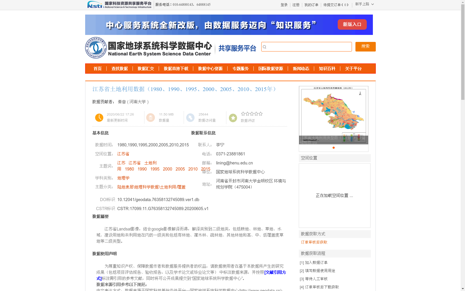
江苏省Landsat影像,结合google影像解译而得,解译类别到二级地类,包括耕地、林地、草地、水域、建设用地和未利用地在内的一级类和包括有林地、灌木林、疏林地、其他林地和高、中、低覆盖度草地等二级类型。
This dataset is developed based on Landsat imagery of Jiangsu Province, with interpretation assisted by Google satellite imagery. The land classification system covers up to the second-level land categories: the first-level categories include cultivated land, forest land, grassland, water area, construction land and unused land, while the second-level categories include woodland, shrub land, open forest land, other forest land, and grasslands with high, medium and low coverage.
提供机构:
河南大学
创建时间:
2020-06-05
搜集汇总
数据集介绍
背景与挑战
背景概述
该数据集提供了江苏省在1980年至2015年间七个时间点的土地利用信息,基于Landsat和Google影像解译生成,分类精度高,涵盖从耕地到未利用地的一级类别以及更细化的二级地类,适用于土地利用变化分析和环境研究。
以上内容由遇见数据集搜集并总结生成


