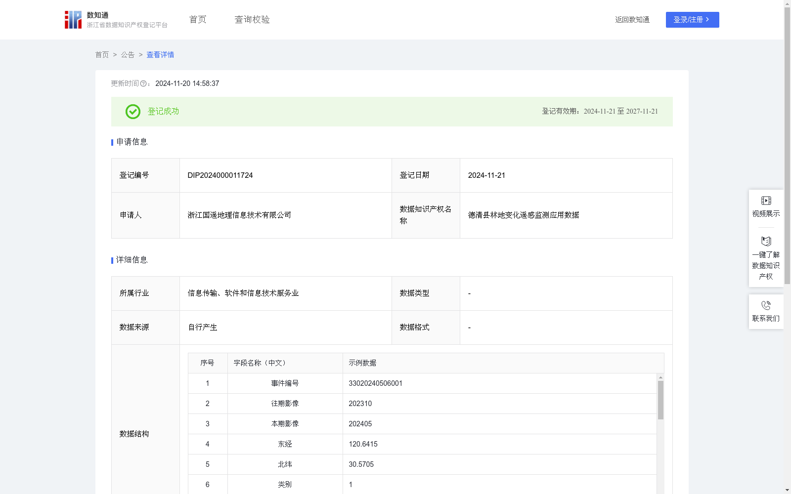
德清县林地变化遥感监测应用数据
收藏浙江省数据知识产权登记平台2024-11-20 更新2024-11-21 收录
下载链接:
https://www.zjip.org.cn/home/announce/trends/86979
下载链接
链接失效反馈官方服务:
资源简介:
用于判断林地要素是否位于某个行政区划,将要素分配给相应的镇街和村社区,可视化点位在空间上的分布情况。对镇街、村社区的点位进行时间累加、状态标记、类型标记,掌握林地变化问题的趋势、数量、分布等动态数据。能够精准计算新增或减少的林地面积,便于管理人员掌握林地变化数据。将问题总数、处置状态等信息整合统计与可视化展示,实时掌握面积复核状态等信息。提供识别后的数据应用服务,为政府部门提供林地变化数据支撑。根据两期影像对比得到林地变化地块以及变化趋势。根据林地变化地块在当前识别框中的相对位置(x1,y1),(x2,y2),(x3,y3),(x4,y4),通过四个角标位置计算相对面积area,再结合遥感影像的分辨率和比例尺计算实际面积(平方米)。基于林地识别数据与镇、村行政区划边界矢量,进行空间包含关系的计算,对要素的坐标进行空间分析,将其与行政区划边界进行比较,判断要素是否位于当前行政区划的内部,若否,则判断下一个行政区划,直到确定所有林地变化区域的行政区划。将要素分配给相应的镇街和村社区,可视化点位在空间上的分布情况。在此基础上,对镇街、村社区的点位进行时间累加、状态标记、类型标记,从而得到林地变化问题的数量统计、面积统计、区域分布等数据。系统实时更新林地变化区域的面积复核状态,当工作人员实地处理核查后,状态变为已复核。
This dataset is designed to determine whether woodland features fall within a specified administrative division, assign the features to corresponding towns, sub-districts, villages and communities, and visualize their spatial distribution. By performing temporal accumulation, status tagging and type tagging on the points of towns, sub-districts, villages and communities, dynamic data such as the trend, quantity and distribution of woodland change issues can be grasped. It can accurately calculate the area of newly added or reduced woodland, enabling managers to master woodland change data effectively. Information such as the total number of issues and disposal status is integrated, counted and visually displayed, so that the area review status can be mastered in real time. It provides post-recognition data application services to support government departments with woodland change data. Woodland change plots and their change trends are derived by comparing two-phase remote sensing imagery. Based on the relative positions (x1,y1), (x2,y2), (x3,y3), (x4,y4) of the woodland change plots in the current recognition frame, the relative area is calculated using the four corner coordinates. Combined with the resolution and scale of the remote sensing image, the actual area in square meters can be further calculated. Based on the woodland recognition data and the vector boundaries of township and village administrative divisions, spatial inclusion relationship calculation is conducted, and spatial analysis is performed on the coordinates of the features to compare them with the administrative division boundaries, determining whether the feature is within the current administrative division. If not, the next administrative division is checked until the administrative divisions of all woodland change areas are confirmed. The features are assigned to corresponding towns, sub-districts, villages and communities, and their spatial distribution is visualized. On this basis, temporal accumulation, status tagging and type tagging are conducted on the points of towns, sub-districts, villages and communities, so as to obtain data such as quantity statistics, area statistics and regional distribution of woodland change issues. The system updates the area review status of woodland change areas in real time. When staff conduct on-site verification, the status will be updated to 'reviewed'.
提供机构:
浙江国遥地理信息技术有限公司
创建时间:
2024-10-17
搜集汇总
数据集介绍
特点
该数据集包含德清县林地变化的遥感监测数据,共521条记录,每半年更新一次。数据涵盖林地变化的位置、面积、行政区划等信息,主要用于林地变化监测、面积计算和可视化展示,为政府部门提供数据支撑。
以上内容由遇见数据集搜集并总结生成


