民勤绿洲沙漠化数据及民勤绿洲dem数据(1975-2018)
收藏国家青藏高原科学数据中心2023-08-17 更新2024-03-01 收录
下载链接:
https://data.tpdc.ac.cn/zh-hans/data/5cebad1e-1e2b-4206-91e5-a6d97ab056b9
下载链接
链接失效反馈官方服务:
资源简介:
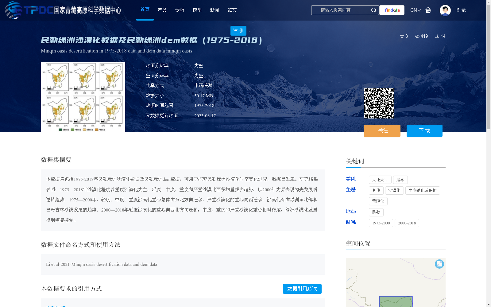
本数据集包括1975-2018年民勤绿洲沙漠化数据及民勤绿洲dem数据,可用于探究民勤绿洲沙漠化时空变化过程,数据已发表。研究结果表明:1975—2018年沙漠化程度以重度沙漠化为主,轻度、中度、重度和严重沙漠化面积均呈减少趋势,以2000年为界表现为先发展后逆转趋势;1975—2000年,轻度、中度、重度沙漠化重心总体向东北方向迁移,严重沙漠化的重心向西迁移,沙漠化有向绿洲东北部和巴丹吉林沙漠发展的趋势;2000—2018年轻度沙漠化的重心向西北方向迁移,中度、重度和严重沙漠化重心相对稳定,绿洲沙漠化发展得到明显控制。
This dataset comprises desertification data of the Minqin Oasis spanning 1975–2018 and digital elevation model (DEM) data of the Minqin Oasis, which can be used to explore the spatio-temporal evolution of desertification in the Minqin Oasis. This dataset has been published. Research findings indicate that: From 1975 to 2018, severe desertification was the dominant type of desertification in the study area. The areas of slight, moderate, severe, and extreme desertification all showed decreasing trends. Taking the year 2000 as a turning point, the desertification process presented a pattern of "first expansion then reversal". During 1975–2000, the centroids of slight, moderate, and severe desertification generally migrated northeastward, while the centroid of extreme desertification shifted westward, suggesting that desertification tended to spread toward the northeastern part of the oasis and the Badain Jaran Desert. During 2000–2018, the centroid of slight desertification migrated northwestward, whereas the centroids of moderate, severe, and extreme desertification remained relatively stable, and the development of desertification in the Minqin Oasis was significantly controlled.
提供机构:
李军豪
创建时间:
2023-08-11
搜集汇总
数据集介绍
背景与挑战
背景概述
本数据集包含1975年至2018年民勤绿洲的沙漠化数据和数字高程模型(DEM)数据,用于分析沙漠化的时空演变过程。研究结果表明,沙漠化程度以重度为主,整体面积呈减少趋势,并以2000年为转折点呈现先发展后逆转的特征,同时揭示了沙漠化重心的迁移规律和驱动机制。数据适用于人地关系、遥感及生态退化研究,需通过申请获取,并已发表相关学术文献。
以上内容由遇见数据集搜集并总结生成


