
江苏省1:25万基础地理数据(2015年)
收藏国家地球系统科学数据中心2020-11-16 更新2024-04-21 收录
下载链接:
https://www.geodata.cn/data/datadetails.html?dataguid=212709933867097&docId=11931
下载链接
链接失效反馈官方服务:
资源简介:
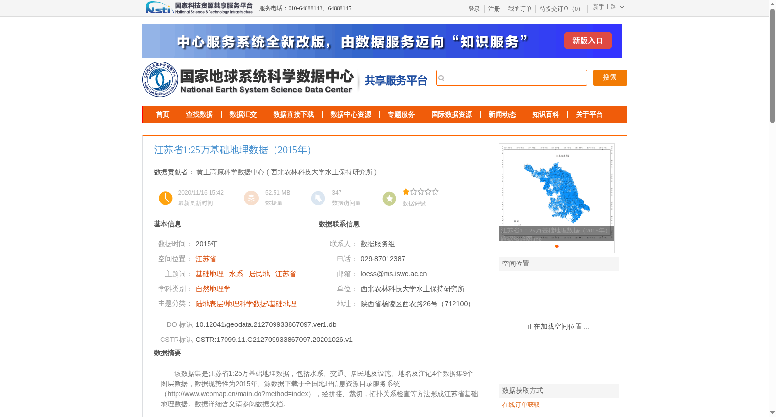
该数据集是江苏省1:25万基础地理数据,包括水系、交通、居民地及设施、地名及注记4个数据集9个图层数据,数据现势性为2015年。源数据下载于全国地理信息资源目录服务系统(http://www.webmap.cn/main.do?method=index),经拼接、裁切,拓扑关系检查等方法形成江苏省基础地理数据。数据详细含义请参阅数据文档。
This dataset is the 1:250,000 fundamental geographic data of Jiangsu Province. It consists of 9 layers from 4 datasets, namely hydrographic network, transportation, settlements and facilities, as well as place names and annotations. The data currency is 2015. The original source data was downloaded from the National Geographic Information Resources Catalog Service System (http://www.webmap.cn/main.do?method=index), and was processed through methods such as mosaic, clipping and topological relationship check to form the fundamental geographic data of Jiangsu Province. Please refer to the data documentation for detailed information about the data.
提供机构:
西北农林科技大学水土保持研究所创建时间:
2020-10-26
搜集汇总
数据集介绍
背景与挑战
背景概述
该数据集是江苏省1:25万比例尺的基础地理数据,现势性为2015年,包含水系、交通、居民地及设施、地名及注记4个数据集9个图层,适用于自然地理学等研究领域。数据经过拼接、裁切和拓扑检查处理,地理坐标系为CGCS_2000,数据量约52.51 MB,具有较高的专业性和实用性。
以上内容由遇见数据集搜集并总结生成


