亚热带森林多平台激光雷达点云数据集
收藏国家林业和草原科学数据中心2024-07-08 更新2024-08-31 收录
下载链接:
https://www.forestdata.cn/dataDetail.html?id=249a518a-7266-431b-926e-784ff8a640c9
下载链接
链接失效反馈官方服务:
资源简介:
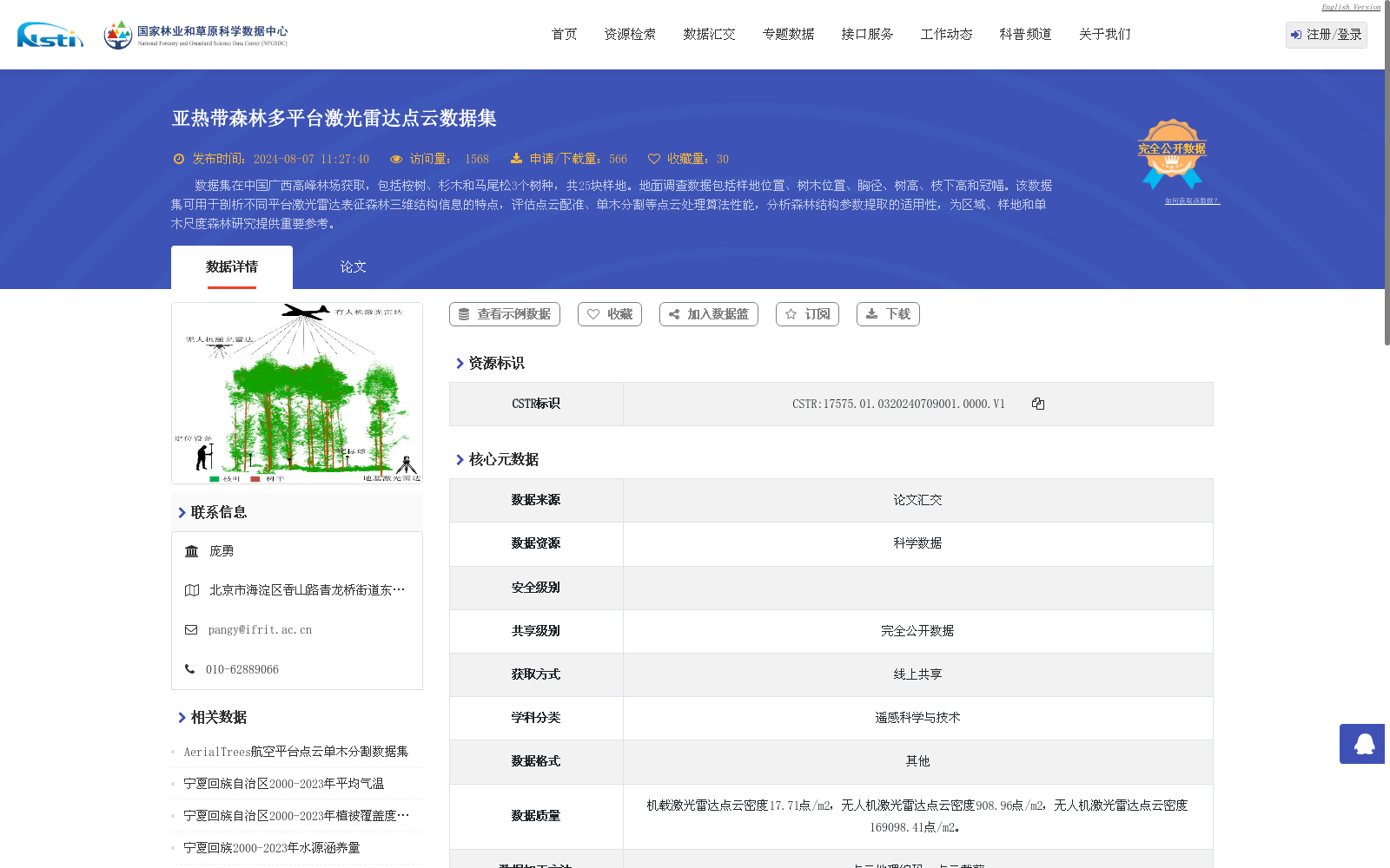
数据集在中国广西高峰林场获取,包括桉树、杉木和马尾松3个树种,共25块样地。地面调查数据包括样地位置、树木位置、胸径、树高、枝下高和冠幅。该数据集可用于剖析不同平台激光雷达表征森林三维结构信息的特点,评估点云配准、单木分割等点云处理算法性能,分析森林结构参数提取的适用性,为区域、样地和单木尺度森林研究提供重要参考。
This dataset was collected from Gaofeng Forest Farm, Guangxi, China. It encompasses three tree species: Eucalyptus, Chinese fir (Cunninghamia lanceolata), and Masson pine (Pinus massoniana), with a total of 25 sample plots. The field survey data includes sample plot coordinates, individual tree locations, diameter at breast height (DBH), tree height, under-branch height, and crown width. This dataset can be employed to analyze the characteristics of forest three-dimensional structural information characterized by LiDAR across different platforms, evaluate the performance of point cloud processing algorithms such as point cloud registration and individual tree segmentation, assess the applicability of forest structural parameter extraction approaches, and provide valuable references for forest research at regional, plot, and individual tree scales.
提供机构:
国家林业和草原科学数据中心
创建时间:
2024-07-08
搜集汇总
数据集介绍
背景与挑战
背景概述
该数据集是一个亚热带森林的多平台激光雷达点云数据集,采集于中国广西高峰林场,覆盖桉树、杉木和马尾松3个树种共25块样地,包含地面调查数据如树木位置、胸径和树高。数据集数据量为24.42 GB,采集时间为2022年10月至12月,点云密度高(如无人机激光雷达达169098.41点/m2),主要用于评估点云处理算法性能、分析森林结构参数提取,并为区域到单木尺度的森林研究提供参考。
以上内容由遇见数据集搜集并总结生成


