2015、2020、2024年桂林市城区森林覆盖及主要树种空间分布数据集 (2m)
收藏地球大数据科学工程2026-02-04 更新2026-02-07 收录
下载链接:
https://data.casearth.cn/dataset/69644b4397d0b0397736ecb6
下载链接
链接失效反馈官方服务:
资源简介:
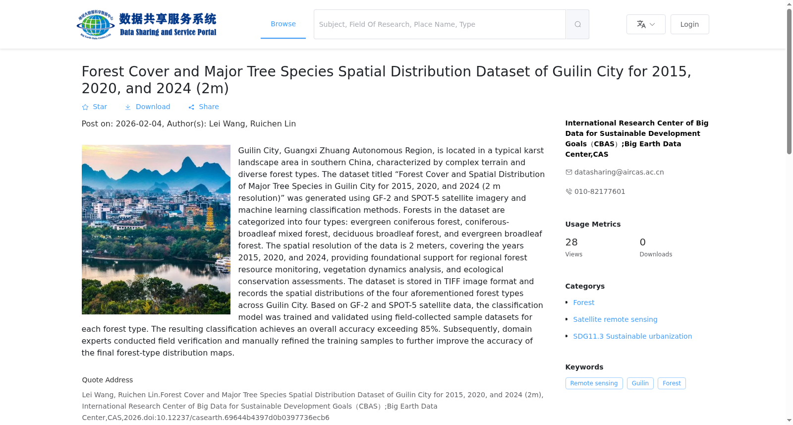
广西壮族自治区桂林市位于南方典型的喀斯特地貌区,地形复杂、森林类型多样。2015、2020、2024年桂林市森林覆盖度及主要树种空间分布数据集(2m)以GF-2与SPOT-5卫星影像为数据源,采用机器学习分类方法生成。数据集将森林分为常绿针叶林、针阔混交林、落叶阔叶林和常绿阔叶林。数据空间分辨率为2米,时间覆盖2015年、2020年与2024年,可为区域森林资源监测、植被动态分析及生态保护评估提供基础数据支撑。2015、2020、2024年桂林市森林覆盖度及主要树种空间分布数据集以TIFF格式影像记录了桂林市森林树种常绿针叶林、针阔混交林、落叶阔叶林和常绿阔叶林的空间分布信息。本数据基于GF-2、SPOT-5,以常绿针叶林、针叶、阔叶混交林、落叶阔叶林和常绿阔叶林实地采样样本数据集为训练集和验证集,训练机器学习模型,精度优于85%,得到结果的空间分布数据。后由专业人员结合实地勘察信息比对验证,人工校正训练样本获得更准确的分布结果。
Guilin City, Guangxi Zhuang Autonomous Region, is located in a typical southern karst landform area, with complex topography and diverse forest types. The Spatial Distribution Dataset of Forest Cover and Major Tree Species in Guilin City (2m) for 2015, 2020 and 2024 was generated using GF-2 and SPOT-5 satellite imagery as data sources via machine learning classification methods. This dataset classifies forests into four categories: evergreen coniferous forests, coniferous and broad-leaved mixed forests, deciduous broad-leaved forests, and evergreen broad-leaved forests. With a spatial resolution of 2 meters and temporal coverage covering 2015, 2020 and 2024, the dataset can provide foundational data support for regional forest resource monitoring, vegetation dynamic analysis and ecological protection assessment.
The dataset records the spatial distribution information of the four aforementioned forest types in Guilin City in TIFF-format imagery. Developed based on GF-2 and SPOT-5 satellite data, the dataset was produced by training a machine learning model with field sampling sample datasets of evergreen coniferous forests, coniferous forests, broad-leaved mixed forests, deciduous broad-leaved forests and evergreen broad-leaved forests as training and validation sets, achieving an overall accuracy exceeding 85%. Subsequently, professional personnel conducted cross-verification against field survey information, and manually corrected the training samples to obtain more accurate spatial distribution results.
创建时间:
2026-01-12
搜集汇总
数据集介绍
背景与挑战
背景概述
该数据集提供了中国桂林市2015、2020和2024年的森林覆盖及主要树种空间分布信息,基于2米高分辨率卫星影像和机器学习方法分类,覆盖常绿针叶林等四种森林类型,总体精度超过85%,适用于区域森林资源动态监测和生态保护评估。
以上内容由遇见数据集搜集并总结生成


