黑龙江省1:25万主要农作物种植面积数据集(1980年)
收藏国家地球系统科学数据中心2018-07-02 更新2024-03-04 收录
下载链接:
https://www.geodata.cn/data/datadetails.html?dataguid=126825420173182&docId=19400
下载链接
链接失效反馈官方服务:
资源简介:
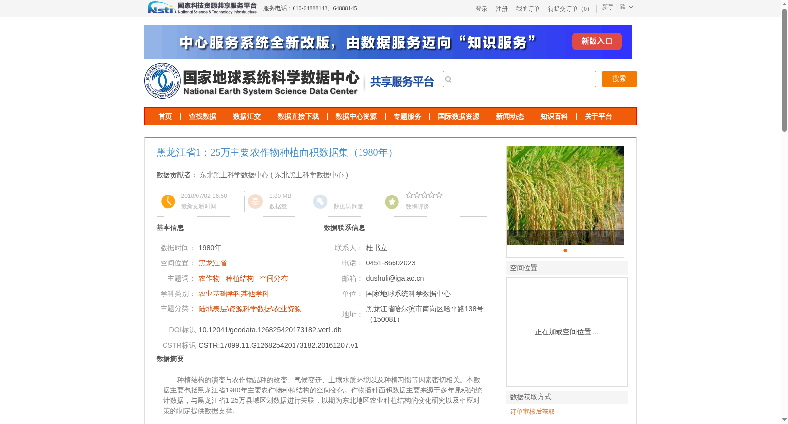
种植结构的演变与农作物品种的改变、气候变迁、土壤水质环境以及种植习惯等因素密切相关。本数据主要包括黑龙江省1980年主要农作物种植结构的空间变化。作物播种面积数据主要来源于多年累积的统计数据,与黑龙江省1:25万县域区划数据进行关联,以期为东北地区农业种植结构的变化研究以及相应对策的制定提供数据支撑。
The evolution of agricultural planting structures is closely correlated with a variety of factors, including changes in crop varieties, climate change, soil and water environmental conditions, and local planting practices. This dataset mainly covers the spatial changes in the planting structures of major crops in Heilongjiang Province in 1980. The data on crop sown areas are primarily sourced from long-term accumulated statistical records, and have been linked to the 1:250,000 county-level administrative division data of Heilongjiang Province. This dataset aims to provide data support for research on changes in agricultural planting structures in Northeast China and the formulation of corresponding countermeasures.
提供机构:
东北黑土科学数据中心
创建时间:
2016-12-07
搜集汇总
数据集介绍
背景与挑战
背景概述
该数据集提供了1980年黑龙江省主要农作物种植面积的空间分布信息,比例尺为1:25万,基于统计数据与县域区划数据关联生成。它旨在支持农业种植结构变化研究,数据通过地图数字化和统计处理获得,采用WGS 1984投影,并经过质量审查确保准确性。
以上内容由遇见数据集搜集并总结生成


