
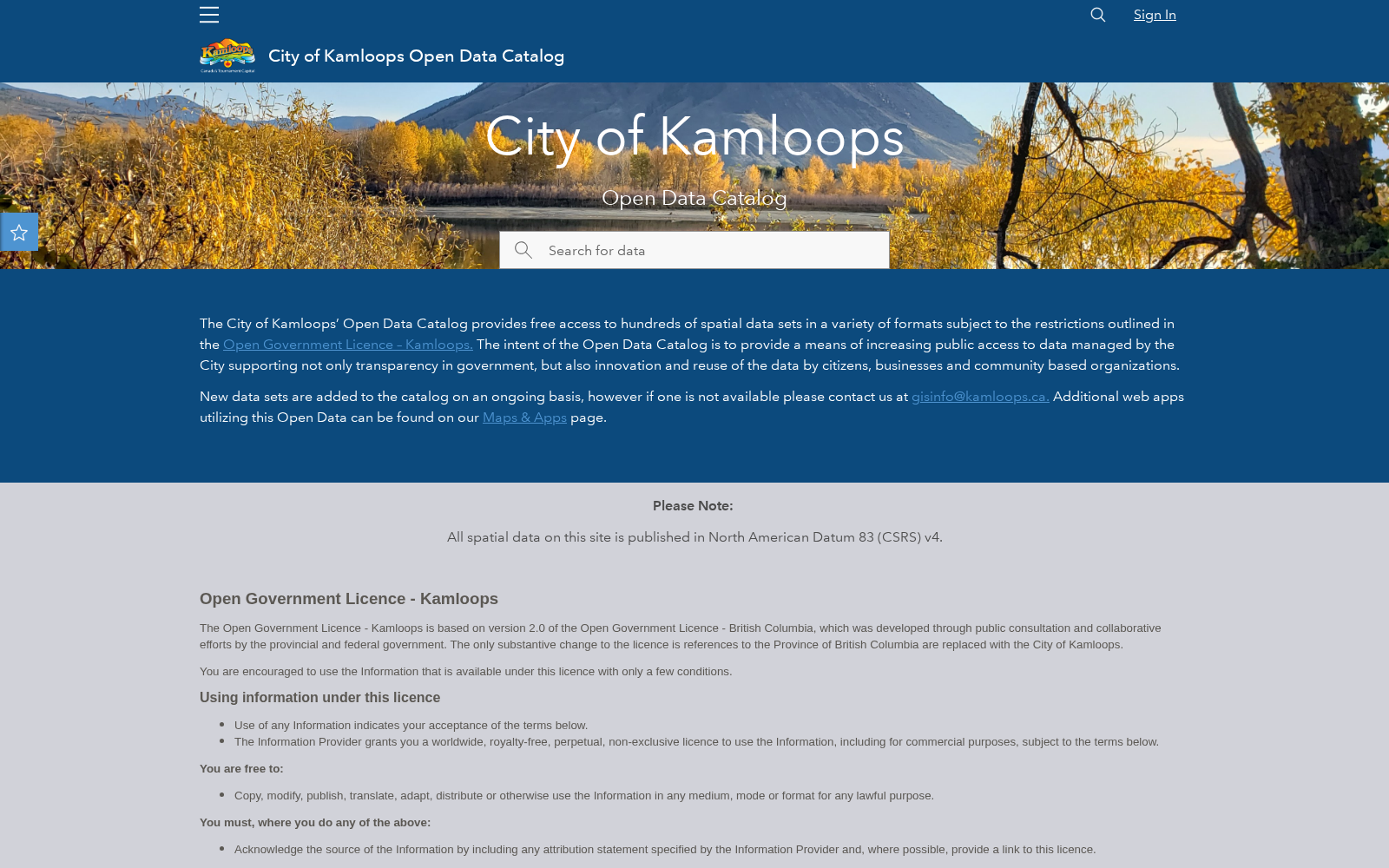
City of Kamloops Open Data Catalog
收藏知名数据库2026-06-02 收录
官方服务:
资源简介:
The City of Kamloops Open Data Catalog is hosted on ArcGIS Hub, offering free access to a wide variety of municipal geospatial and tabular datasets. It allows users to browse, download, and use data on topics like parks, infrastructure, water systems, and administrative boundaries to support transparency and civic engagement.
坎卢普斯市(City of Kamloops)开放数据目录托管于ArcGIS Hub,面向公众免费提供丰富多样的市政地理空间(geospatial)与表格型(tabular)数据集。用户可通过该目录浏览、下载并使用涵盖公园、基础设施、供水系统及行政边界等主题的数据,以助力提升政务透明度与促进公民参与。
提供机构:
加拿大不列颠哥伦比亚省坎卢普斯市政府搜集汇总
数据集介绍
背景与挑战
背景概述
该数据集是坎卢普斯市的开放数据目录,提供数百个空间数据集,涵盖行政、地籍、公园等多个类别。它基于开放政府许可,旨在提高数据可访问性,以支持政府透明度和公众创新使用。
以上内容由遇见数据集搜集并总结生成


