Djibouti-andrea-bruno
收藏资源简介:
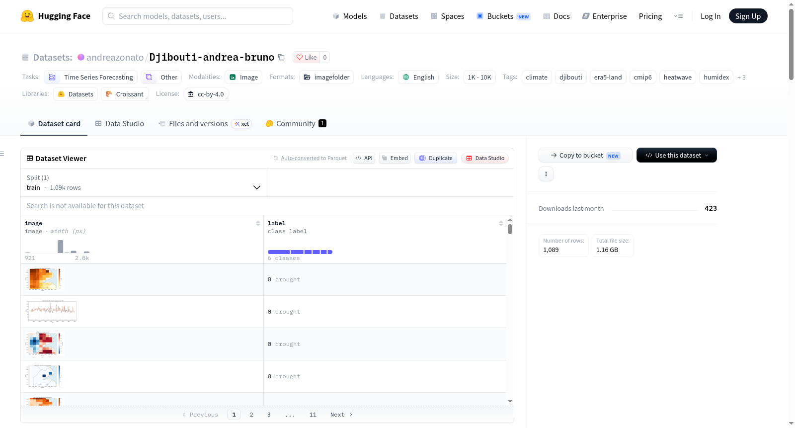
ClimSA吉布提气候灾害输出数据集(ClimSA Djibouti Climate Hazards)是基于ClimSA工作流生成的网格化气候灾害诊断数据集,覆盖吉布提全境。该数据集将ERA5-Land再分析参考数据(1950-2025年)与偏差校正后的CMIP6气候预测(2026-2100年)相结合,提供历史与未来情景下的多变量气候灾害指标。空间范围为10.8°N–12.9°N,41.5°E–43.6°E,采用0.1°矩形经纬度网格。未来情景包括SSP2-4.5和SSP5-8.5两个共享社会经济路径。CMIP6模型偏差校正采用分位数增量映射法(QDM),校正期与ERA5-Land重叠的1950-2025年。数据集包含9个CMIP6全球气候模型(ACCESS-CM2, ACCESS-ESM1-5, CanESM5, CNRM-CM6-1, CNRM-ESM2-1, EC-Earth3, GFDL-ESM4, MIROC6, MPI-ESM1-2-HR)的输出。数据存储为NetCDF格式,按类别分为热(年度热浪指数)、降水与干旱(SPI/SPEI、连续干旱日数、极端降水等)、Humidex(湿热指数)、风(风速及其指数)以及每日事件掩码(热浪、湿浪、湿热浪)。此外还提供合并的共同网格产品和未来预测统计文件。同时提供PNG格式的预生成可视化图像(空间均值图、趋势图、区域时间序列图、多源对比图等)。该数据集适用于时间序列预测、气候风险评估、极端事件分析、偏差校正研究等任务。
The ClimSA Djibouti Climate Hazards Output Dataset is a gridded climate hazard diagnostic dataset generated based on the ClimSA workflow, covering the entire territory of Djibouti. It combines ERA5-Land reanalysis reference data (1950-2025) with bias-corrected CMIP6 climate projections (2026-2100), providing multi-variable climate hazard indicators under historical and future scenarios. The spatial range is 10.8°N–12.9°N, 41.5°E–43.6°E, with a 0.1° rectangular latitude-longitude grid. Future scenarios include SSP2-4.5 and SSP5-8.5 shared socioeconomic pathways. Bias correction of CMIP6 models uses the Quantile Delta Mapping (QDM) method, with the calibration period overlapping ERA5-Land from 1950 to 2025. The dataset contains outputs from 9 CMIP6 global climate models (ACCESS-CM2, ACCESS-ESM1-5, CanESM5, CNRM-CM6-1, CNRM-ESM2-1, EC-Earth3, GFDL-ESM4, MIROC6, MPI-ESM1-2-HR). Data is stored in NetCDF format and categorized into thermal (annual heatwave index), precipitation and drought (SPI/SPEI, consecutive dry days, extreme precipitation, etc.), Humidex (humidity-heat index), wind (wind speed and indices), and daily event masks (heatwave, wet spell, humid heatwave). Additionally, merged common grid products and future projection statistics files are provided. Pre-generated visualization images in PNG format (spatial mean maps, trend maps, regional time series, multi-source comparison maps, etc.) are also included. The dataset is suitable for tasks such as time series prediction, climate risk assessment, extreme event analysis, and bias correction research.
ClimSA Djibouti Climate Hazards
基本信息
- 数据集地址:https://huggingface.co/datasets/andreazonato/Djibouti-andrea-bruno
- 许可证:CC-BY-4.0
- 任务类别:时间序列预测(time-series-forecasting)、其他(other)
- 语言:英语(en)
- 标签:climate、djibouti、era5-land、cmip6、heatwave、humidex、drought、spei、bias-correction
- 别名:ClimSA Djibouti Climate Hazards
数据集概述
该数据集包含由 ClimSA 工作流生成的吉布提网格化气候灾害诊断数据。它结合了截至 2025 年的 ERA5-Land 参考数据与截至 2100 年的偏差校正 CMIP6 投影数据。
范围与时段
- 空间范围:北纬 10.8–12.9,东经 41.5–43.6
- ERA5-Land 网格:0.1 度矩形经纬度网格
- 历史/参考序列:1950–2025
- 未来情景:SSP2-4.5 和 SSP5-8.5,2026–2100
- 世纪中叶汇总:2041–2070
- 世纪末汇总:2071–2100
- CMIP6 校正:在共同 1950–2025 期间相对于 ERA5-Land 的分位数增量映射(QDM)
在 1950–2100 图表中,ERA5-Land 显示至 2025 年,校正后的 CMIP6 从 2026 年开始。2025 年处用垂直线标记历史/未来边界。
目录结构
text era5land/ drought/ events/ heat/ humidex/ wind/ cmip6_<model>_<scenario>/ drought/ events/ heat/ humidex/ wind/ comparison/ ssp245/ ssp585/
era5land/包含参考分析。- 每个
cmip6_<model>_<scenario>/目录包含一个偏差校正模型和情景的诊断数据。 comparison/ssp245/和comparison/ssp585/包含合并的公共网格产品、集合摘要和对比图表。
九个 CMIP6 模型为:ACCESS-CM2、ACCESS-ESM1-5、CanESM5、CNRM-CM6-1、CNRM-ESM2-1、EC-Earth3、GFDL-ESM4、MIROC6 和 MPI-ESM1-2-HR。
NetCDF 产品
高温(Heat)
heat/annual_heat_indices.nc 包含以下年度网格化值:
hotspell_days:热浪日数hotspell_events:热浪事件数max_hotspell_duration:年度最大事件持续时间hwmid:热浪强度指数日聚合值
降水与干旱(Precipitation and drought)
drought/annual_precipitation_indices.nc 包含:
cdd:最大连续干旱日数rx1day:年最大一日降水量rx5day:年最大五日降水量prcptot:年累积降水量
drought/spi_01.nc、spi_03.nc、spi_06.nc 和 spi_12.nc 包含 1、3、6、12 个月尺度的 SPI。对应的 spei_*.nc 文件包含 SPEI。
湿热指数(Humidex)
humidex/daily_humidex.nc 包含日 Humidex。humidex/annual_humidex_indices.nc 包含:
humidex_spell_days和humidex_spell_eventshumidex_max_spell_durationhumidex_mean和humidex_annual_maxhumidex_threshold_days
风(Wind)
wind/daily_wind.nc 包含日风速。wind/annual_wind_indices.nc 包含年均值、年最大值和阈值超越诊断。
日事件掩膜(Daily event masks)
events/daily_event_masks.nc 包含 (time, latitude, longitude) 上的日整数掩膜:
heatwavehumidwavehumidexwave
事件日为 1,否则为 0。缺失源数据在适用处保持缺失。
合并对比文件(Merged comparison files)
以 _common_grid.nc 结尾的文件沿 product 维度组合三种产品:
era5landcmip6_multimodel_meancmip6_2sigma
所有产品双线性插值至最细下载网格以进行对比。此插值不会提高原始 CMIP6 数据的物理分辨率。
以 _cmip6_future_projections.nc 结尾的文件包含 ERA5-Land 参考均值和 2041–2070 及 2071–2100 的校正 CMIP6 集合统计量。变量包括绝对集合均值、相对于 1950–2025 的变化、二西格玛集合离散度和模型计数。
图表(Figures)
常见文件名后缀含义如下:
*_mean_map.png:指定时段的 spatial 均值*_trend_map.png:年度指数的空间趋势*_regional_timeseries.png:单一来源/模型的区域均值时间序列*_all_datasets_1950_2025.png:历史 ERA5-Land 与校正 CMIP6 对比*_era5land_reference_1950_2025.png:仅 ERA5-Land 参考图*_cmip6_corrected_timeseries_1950_2100.png:ERA5-Land 至 2025 年接续校正 CMIP6 从 2026 至 2100 年,包含集合均值、单个模型和二西格玛离散度*_cmip6_future_projections.png:世纪中叶和世纪末集合投影及变化的地图
读取文件
python import xarray as xr
ds = xr.open_dataset("era5land/events/daily_event_masks.nc") print(ds) heatwave_days = ds["heatwave"]
数值 NetCDF 产品应用于定量工作;PNG 文件为现成可视化摘要。此运行未生成 CSV 表格,因此该仓库目前仅包含 PNG 和 NetCDF 输出。
可复现性与引用
处理代码和配置模式可在 ClimSA GitHub 仓库(https://github.com/andreazonato/ClimSA)获取。用户在使用这些衍生品时还应引用原始 ERA5-Land 和 CMIP6 数据提供者。