钱江源国家公园人口密度数据库(2017)
收藏地球大数据科学工程2024-04-21 收录
下载链接:
https://data.casearth.cn/sdo/detail/653f4f38819aec42f02f6c7d
下载链接
链接失效反馈官方服务:
资源简介:
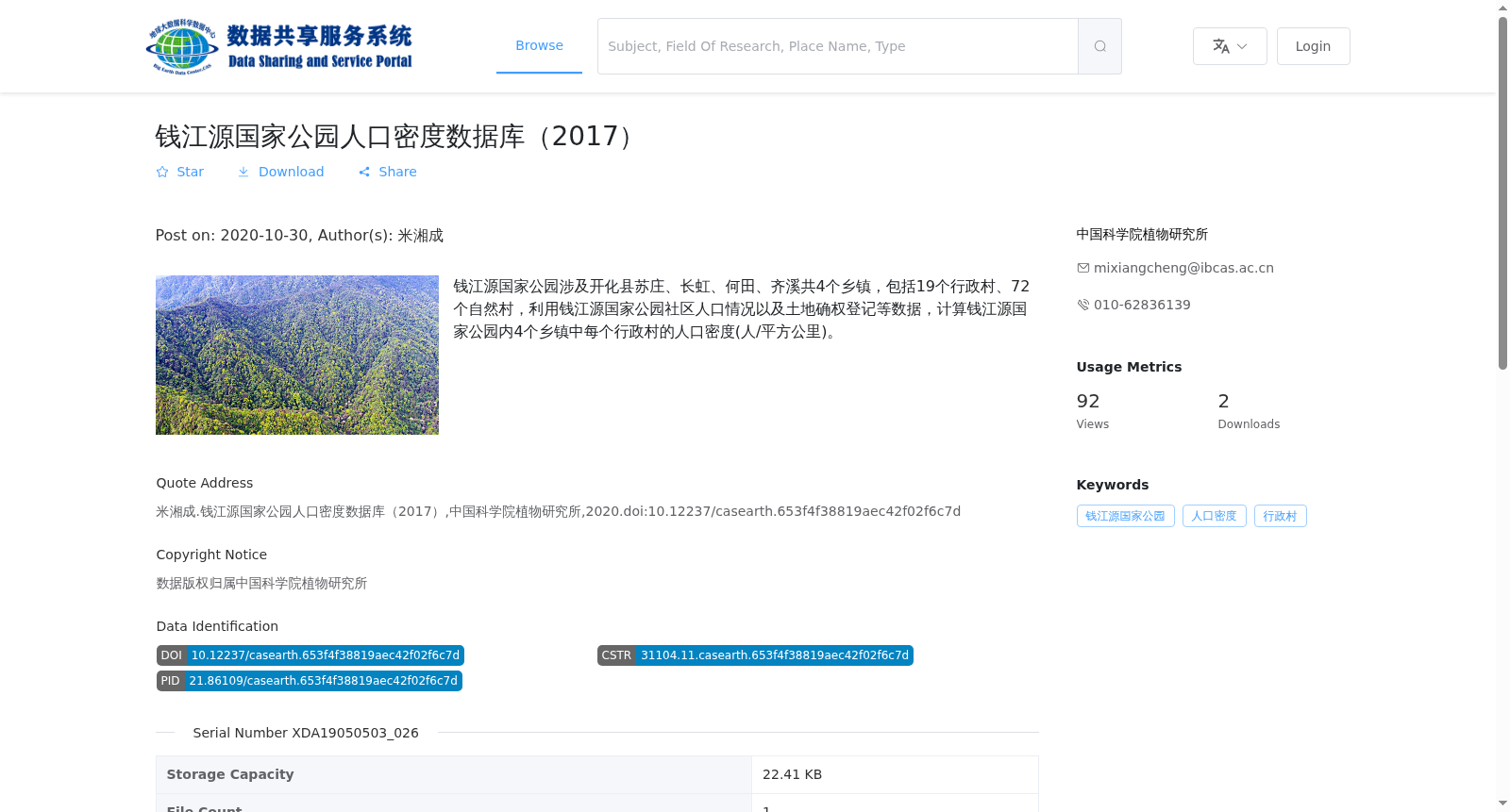
钱江源国家公园涉及开化县苏庄、长虹、何田、齐溪共4个乡镇,包括19个行政村、72个自然村,利用钱江源国家公园社区人口情况以及土地确权登记等数据,计算钱江源国家公园内4个乡镇中每个行政村的人口密度(人/平方公里)。
Qianjiangyuan National Park covers four townships—Suzhuang, Changhong, Hetian, and Qixi—under the jurisdiction of Kaihua County, including 19 administrative villages and 72 natural villages. Using the community population data and land rights confirmation and registration data of Qianjiangyuan National Park, the population density (in people per square kilometer) of each administrative village within the four townships of the park is calculated.
提供机构:
中国科学院植物研究所
搜集汇总
数据集介绍
背景与挑战
背景概述
该数据集提供了2017年钱江源国家公园内4个乡镇的行政村人口密度数据,基于社区人口和土地确权数据计算得出,数据格式为XLSX,适用于人口分布和土地利用研究。
以上内容由遇见数据集搜集并总结生成


