
全球冰湖矢量数据集
收藏官方服务:
资源简介:
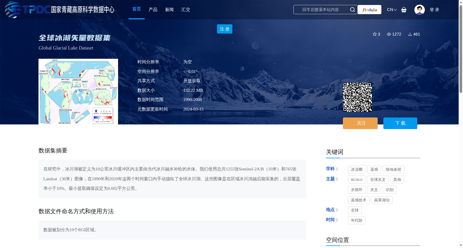
在研究中,冰川湖被定义为10公里冰川缓冲区内主要由当代冰川融水补给的水体。我们使用总共1255张Sentinel-2A/B(10米)和765张Landsat(30米)图像,在1990年和2020年这两个时间窗口内手动描绘了全球冰川湖。这些图像是在区域冰川消融后期采集的,云层覆盖率小于10%。最小提取阈值设定为0.002平方公里。
In this study, glacial lakes are defined as water bodies primarily replenished by contemporary glacial meltwater within a 10-kilometer glacial buffer zone. We manually mapped global glacial lakes during two temporal windows (1990 and 2020) using a total of 1255 Sentinel-2A/B (10-meter spatial resolution) and 765 Landsat (30-meter spatial resolution) images. All these images were acquired during the late period of regional glacial ablation, with cloud cover less than 10%. The minimum extraction threshold was set at 0.002 square kilometers.
提供机构:
Taigang ZHANG,王伟财创建时间:
2024-01-05
搜集汇总
数据集介绍
背景与挑战
背景概述
全球冰湖矢量数据集是一个基于Sentinel-2A/B(10米)和Landsat(30米)遥感图像手动描绘的全球冰川湖资源,覆盖1990年和2020年两个时间窗口,最小提取面积为0.002平方公里。数据集以矢量格式提供,空间分辨率≤0.01°,数据大小132.22 MB,划分为19个RGI区域,用于研究冰川湖变化,并需引用指定文献。
以上内容由遇见数据集搜集并总结生成


